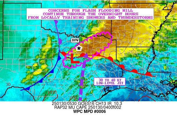
Mesoscale Precipitation Discussion 0006
NWS Weather Prediction Center College Park MD
958 AM EST Tue Jan 09 2024

Areas affected...Eastern Slopes of Southern and Central
Appalachians...

Concerning...Heavy rainfall...Flash flooding likely

Valid 091500Z - 092100Z

SUMMARY...Prolonged upslope flow will continue to strengthen
before main height-falls abruptly end heavy rainfall risk from SSW
to NNE along the spine of the Appalachians.

DISCUSSION...GOES-E WV suite depicts broad wedge of cold tops and
transverse banding associated with the warm conveyor belt
along/ahead of the height-falls across the Cumberland Plateau and
Southern Appalachians with hints of an inflection/nose of arching
pinching into NW GA likely associated with the best
diffluence/right entrance to 150kt 250mb jet south-north jet
streak east of the deep cyclone.  This highly favorable divergence
region will continue to lift north-northeast mainly along the
spine of the Appalachians with time.  As such, low level response
has been noted in the VWP from sfc to 700mb across Carolinas into
southwest Virginia...as the coastal warm front tries to steepen
isentropic ascent and align with the lower upslope regions of the
terrain to strengthen moisture flux convergence and therefore
rainfall efficiency.

Currently, this alignment has become ideal over the Upstate of SC
and rainfall as the warm front appears to be just about near I-85
before angling back toward the coast near I-95 over NC.  Sfc Tds
of low 60s and CIRA LPW are increasing from .5-.6 to .75" in the
surface to 850mb layer, likely to increase to near 1".  So while
instability is limited, the slope of the front should aid in depth
of cloud and support .75-1"/hr rates starting from far SW NC over
the next few hours, especially given sfc/850mb directional
convergence of 50-70kts of flux.

Where the slope is more gentle across SW VA into NW VA, winds are
still increasing with 925mb increasing to over 50kts with 1" LPW
from sfc to 700mb should support solid .5"/hr rates that given
4-5+ hours finally peaking toward .75" with the greater
flux/forcing intersection approaching toward 20-22z, 6hr rainfall
totals 2.5-3.5" with isolated 4" totals are becoming increasingly
likely.  Some higher peaks have some remaining snow to melt to
further increase runoff potential as well.  Dormant/fairly
saturated grounds will further increase potential for runoff and
likely flooding conditions across the region.

Gallina

ATTN...WFO...CTP...GSP...LWX...MRX...PBZ...RAH...RLX...RNK...

ATTN...RFC...LMRFC...MARFC...OHRFC...SERFC...NWC...

LAT...LON   41167779 40517733 39267764 37887846 36657939
            36038023 35358122 35068315 35648359 37078160
            39277957 40707854
Download in GIS format: Shapefile
| KML
Last Updated: 958 AM EST Tue Jan 09 2024
