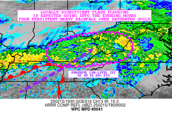
Mesoscale Precipitation Discussion 0041
NWS Weather Prediction Center College Park MD
358 AM EST Wed Jan 31 2024

Areas affected...southwestern OR into northwestern CA

Concerning...Heavy rainfall...Flash flooding possible

Valid 310857Z - 312045Z

Summary...Rainfall intensity is expected to gradually increase
early this morning across the West Coast with a focus over
southwestern OR and northwestern CA. Hourly rainfall totals over
0.5 inches are expected to become more likely after 12Z with
hourly totals near 1 inch possible near 18Z.

Discussion...GOES West vapor imagery showed a highly wrapped up,
strong and mature cyclone over the eastern Pacific, centered near
43N 136W at 08Z. 08Z infrared and surface observations placed the
associated 963 mb surface low with an occluded/cold front
extending outward from the low and approaching the West Coast with
the triple point ~150 miles west of Cape Blanco, OR. Loops of TPW
showed a long fetch (3000+ miles) of moisture with precipitable
water values greater than 1 inch off of the northern CA and OR
coast, extending back across the Hawaiian Islands with origins
into the tropical central Pacific. Recent QMORPH2 and blended
microwave-derived rain rate imagery showed 0.35 to 0.45 in/hr rain
rates 100-150 miles west of the northern CA and southern OR coast
While no recent observed low level wind data was available
offshore, special 00Z dropsonde data showed 70 kt at 850 mb near
40.7N 127.0W, in line with 00Z RAP/GFS analysis data. GOES West
water vapor imagery also showed a powerful (170+ kt) zonally
oriented jet near 33N between 140W and 160W with widely diffluent
flow downstream along with a separate GOES West DMV measured
120-140 kt jet max oriented south to north above the triple point
off of the Pacific Northwest.

The occluded/cold front is expected to continue advancing toward
the West Coast over the next 6-12 hours but with some slowing as
the front nears the coast as the parent upper trough encounters
large scale downstream ridging in place over the western U.S.
Southerly to south-southwesterly 850-700 mb winds of 70-80 kt are
forecast to combine with precipitable water values of 1.1 to 1.2
inches along the southern OR and northern CA coast with 00Z
NAM/GFS forecast IVT values of 800-1000 (locally 1000+) kg/m/s
just prior to 12Z with gradual weakening thereafter (as winds and
moisture decrease later in the day), but remaining strong. While
the primarily southerly flow (less favorable orographic ascent), a
lack of appreciable instability and expected steady eastward
translation of the IVT core will limit rainfall totals compared to
a slower moving moisture axis, a period of intense rainfall is
still expected later this morning.

00Z HREF members are in agreement with 0.5 in/hr rates becoming
common across Curry and Humboldt (King Range) shortly after 12Z
but increasing in areal extent and magnitude closer to 18Z with a
focus across Humboldt County. Some hires model guidance indicates
the potential for a narrow, mechanically forced line of heavier
rain to approach with the cold front, with hourly totals near 1
inch near 18Z. Areas of moderate rain increasing to heavy rain
through the morning should lead to localized 3 to 5 inch totals
across Humboldt and Curry counties with 1 to 3 inches elsewhere
through 20Z. However, the potential for higher rates may impact
recent burn scars across northern CA into southwestern OR with
flash flooding a concern. The axis of heavy rain is expected to
weaken across southwestern OR and far northwestern CA between
18-21Z as the axis of heavy rainfall begins to translate southward
down the CA coast.

Otto

ATTN...WFO...EKA...MFR...MTR...STO...

ATTN...RFC...CNRFC...NWRFC...NWC...

LAT...LON   43162429 43032384 42502351 41902303 40552283
            39562276 39072263 38742219 38322251 38202303
            38302343 38572404 39382474 40862527 42162539
            42952496
Download in GIS format: Shapefile
| KML
Last Updated: 358 AM EST Wed Jan 31 2024
