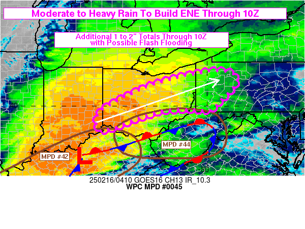
Mesoscale Precipitation Discussion 0045
NWS Weather Prediction Center College Park MD
1158 PM EST Sat Feb 03 2024

Areas affected...Central California Coastal Ranges/San Francisco
Bay Area...

Concerning...Heavy rainfall

Valid 040500Z - 041500Z

SUMMARY...Initial light to moderate over-running showers will give
way to stronger showers due to rapidly deepening low with
accelerating surface to mid-level WAA and strong moisture flux
nearing the coast through early morning.  Stronger orographic
ascent will support .5"/hr rates with embedded convective showers
capable of .75+"/hr over localized areas nearing the central CA
coast around 12-15z.

DISCUSSION...GOES-W WV loop depicts a highly dynamic and rapidly
evolving pattern along and east of 130W south of 40N off the
Central and Southern CA coast.  A mature surface cyclone is
running eastward along 30N with a broadening wedge of mid to upper
level a strato-cumulus with transverse banding pattern directed
toward the Santa Cruz and Santa Lucia Ranges of central CA.  A
warm front resides under this shield parallel to the coast nudging
near the coast with each hour.  This wedge broadens into an
anticyclonically curved cirrus shield indicative of the left
entrance to a 120 to 150kt 3H jet streak.   Providing a broad
gradient of favorable divergent flow enhancing large scale ascent.
 In response, a new surface low northeast of the mature one is
starting to rapidly deepen and is expected to drop to below 990mb
by 12z west of the mouth of the San Francisco Bay, strengthening
southwesterly flow and WAA into the coast mainly at after 12z.

In the short term, isentropic ascent over the warm front will
continue to provide lighter showers moistening the lower profiles
over the area of concern reaching a .1 to .25"/hr over the next
3-6hrs with highest rates in the highest terrain of the Bolinas
Ridge, Santa Cruz Mtns and northern portions of the Santa Lucia
Range.   850mb southerly flow will strengthen to over 50kts and
continue to veer aligning with 700mb flow bringing Total PWAT
values over 1" into the coast by 09z and reaching 1.2" as the main
core of the AR shifts in and 850mb flow reaching 70+kts bringing
IVT values over 800 kg/m/s nearing the coast by 15z markedly
increasing rainfall rates at/after that period.  Between then,
totals across the orography will be 2-3" with some lower
elevations nearing 1" possibly.

NASA SPoRT 10-40cm relative soil moisture values remain well above
normal (70-90th percentile) but are generally above 65-70% from
Monterey Bay, through the Santa Cruz peninsula into the Marin
county, where greatest rain-rates/prolonged duration may result in
higher than normal runoff.  Still, the rates and totals may only
result in minor flooding concerns through 12-15z.  While an
isolated flash flooding situation may occur in this last 3 hour
period, the risk doesn't appear to be high enough to rise to the
category of flash flooding possible for this MPD, but definitely
will be setting the stage for the highest moisture flux/rainfall
rates by late morning/afternoon.

Gallina

ATTN...WFO...EKA...HNX...LOX...MTR...STO...

ATTN...RFC...CNRFC...NWC...

LAT...LON   39642349 39582276 39112214 38472160 37582129
            36372087 35462099 35682146 36372201 36822214
            37382265 37812269 38042314 38392325 38802373
            39052385 39462386
Download in GIS format: Shapefile
| KML
Last Updated: 1158 PM EST Sat Feb 03 2024
