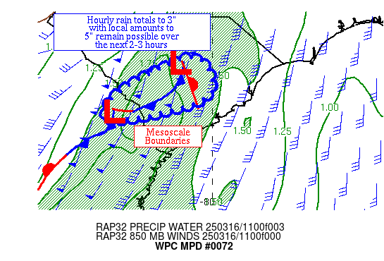
Mesoscale Precipitation Discussion 0072
NWS Weather Prediction Center College Park MD
455 AM EST Wed Feb 21 2024

Areas affected...Transverse and Peninsular Range of Southern CA

Concerning...Heavy rainfall...Flash flooding possible

Valid 210955Z - 211530Z

SUMMARY...Heavy showers arriving across the Transverse and
Peninsular Ranges over the next several hours may result in more
concerns for runoff problems with at least a localized threat for
flash flooding.

DISCUSSION...The latest GOES-18 IR satellite imagery shows a
relatively compact shortwave trough offshore of southern CA which
is advancing gradually off to the east. There is a pool of
instability associated with this energy with MUCAPE values just
offshore of the Transverse and Peninsular Ranges of as much as 500
to 750 J/kg, and radar imagery coupled with offshore
microwave/CMORPH2 data confirms some convective elements
approaching the coast with pockets of heavier rainfall rates.

This energy will spread inland early this morning, and the more
orographically favored terrain of Santa Barbara, Ventura, and Los
Angeles County will likely tend to see the heaviest rainfall rates
with this concentration of showers that arrives. Some rainfall
rates may reach into the 0.50" to 0.75"/hour range, and especially
considering the instability parameters that are pooling along the
immediate coast. Somewhat lesser rates will tend to impact Orange
and San Diego County farther south, but even here, some localized
rates approaching a 0.50"/hour will be possible.

There has been a fair amount of spread in the 00Z HREF guidance
with the details of this energy and the additional rains that may
spread inland heading through the early morning hours, but based
on the latest radar/satellite trends and the recent HRRR guidance,
it is expected that a new round of heavy rainfall will occur.

Some of the convective showers that are offshore are also quite
slow-moving, and thus as they move inland they will have the
capability to to produce heavy totals. Additional rainfall amounts
of as much as 1 to 3 inches will be possible through early this
morning before the activity then weakens and advances off to the
east.

Given the very wet/sensitive antecedent conditions, a renewed
threat of runoff problems will exist including at least a
localized threat for flash flooding where these stronger and
slower moving showers focus.

Orrison

ATTN...WFO...HNX...LOX...SGX...

ATTN...RFC...CNRFC...NWC...

LAT...LON   34991861 34481818 34341785 34001696 33581665
            33121644 32761642 32531660 32591717 33221763
            33641832 34011916 34282000 34552054 34872051
            34981977
Download in GIS format: Shapefile
| KML
Last Updated: 458 AM EST Wed Feb 21 2024
