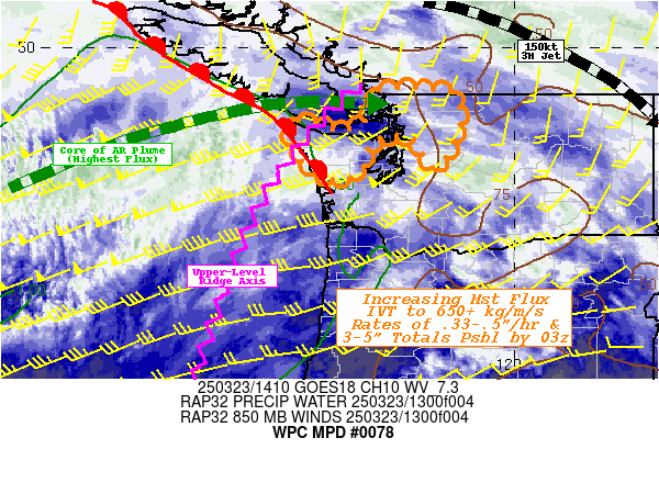
Mesoscale Precipitation Discussion 0078
NWS Weather Prediction Center College Park MD
437 PM EST Tue Mar 05 2024

Areas affected...Portions of the Lower OH Valley

Concerning...Heavy rainfall...Flash flooding possible

Valid 052135Z - 060335Z

SUMMARY...Some gradual increase the coverage and intensity of
showers and thunderstorms can be expected going through the late
afternoon and early evening hours. A localized threat for flash
flooding will exist given concerns for at some cell-training.

DISCUSSION...The latest GOES-East satellite imagery in conjunction
with radar shows some uptick in the coverage of shower and
thunderstorm activity over the last couple of hours across
portions of the Lower OH Valley with the rainfall rates tending to
increase as boundary layer instability increases.

While still modest, MLCAPE values near and just north of the OH
River have increased to as much as 500 to 1000 J/kg. Some
additional destabilization is expected over the next 1 to 2 hours
ahead of sunset, and this coupled with a relatively broad area of
surface moisture convergence focusing out ahead of a cold front
should tend to favor an additional expansion of convective
activity. However, with a general lack of shear, the organization
of the convection should be limited.

Rainfall rates are expected to increase locally to as high as 1"
to 1.5"/hour with some of the stronger cells heading through the
late afternoon and early evening hours, and with the convection
overall becoming aligned more parallel to the mean steering flow
ahead of the cold front, there will be some concerns for
cell-training which will favor locally excessive rainfall totals.

Some spotty 2 to 4 inch rainfall amounts will be possible and
especially where any southwest to northeast oriented bands of
convection can set up ahead of the cold front. This may result in
some localized areas of flash flooding.

Orrison

ATTN...WFO...ILN...ILX...IND...LMK...MEG...OHX...PAH...

ATTN...RFC...LMRFC...NCRFC...OHRFC...NWC...

LAT...LON   39598664 39598520 38948491 37928634 36648776
            36198845 36028903 36288956 36748958 38118874
            38878800
Download in GIS format: Shapefile
| KML
Last Updated: 437 PM EST Tue Mar 05 2024
