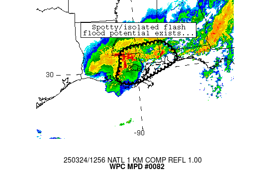
Mesoscale Precipitation Discussion 0082
NWS Weather Prediction Center College Park MD
816 PM EST Wed Mar 06 2024

Areas affected...Southern New England

Concerning...Heavy rainfall...Flash flooding possible

Valid 070115Z - 070715Z

Summary...Widespread moderate to locally heavy rainfall through
tonight may produce instances of flash flooding across portions of
southern New York and southern New England. Rainfall totals of
2-3" are expected.

Discussion...Low pressure organizing over eastern North Carolina
this evening will lift north/northeast toward southern New England
tonight, interacting with a stationary boundary currently draped
offshore New Jersey to Long Island. As it does so, a strengthening
low level jet will begin to push much higher moisture into the
region, aided by 850 mb winds exceeding 40-50 kts after 04Z. This
will result in PWs climbing to well above 1", locally 1.25-1.5"
across far southern New England. With a corridor of enhanced low
level convergence downstream of the approaching low and broad
large scale forcing for ascent provided by the height falls and
approaching mid-level shortwave, the setup will become
increasingly favorable for heavy rainfall through tonight.

The latest guidance is in good agreement for a widespread area of
moderate/heavy rainfall across far southern New York through
southern New England including much of Connecticut, Rhode Island,
western to east-central Massachusetts, and portions of southern
Vermont and New Hampshire. The latest HREF neighborhood
probabilities are high (>70 percent) for at least 2 inches in the
outlook area with a slight signal (10-20 percent) for 3 inch
amounts. Hourly rain totals are likely to top out between
0.5-0.75", limited by the lack of deep instability expected.
However, the longer duration of the rainfall event should overcome
the relative lack of intensity in rain rates to produce flooding.

Much of the area has seen above normal precipitation over the last
several days with ground conditions remaining quite wet. As a
result, this additional rainfall overnight may result in
additional flooding and flash flooding, particularly for southern
New England.

Taylor

ATTN...WFO...ALY...BOX...GYX...OKX...

ATTN...RFC...NERFC...NWC...

LAT...LON   42717217 42647142 42197106 41877092 41307116
            40977167 40797210 40677298 41367374 42427314
Download in GIS format: Shapefile
| KML
Last Updated: 816 PM EST Wed Mar 06 2024
