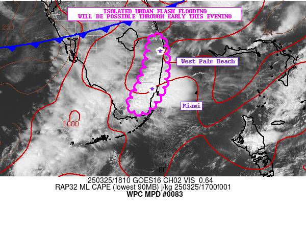
Mesoscale Precipitation Discussion 0083
NWS Weather Prediction Center College Park MD
200 PM EST Thu Mar 07 2024

Areas affected...west-central into north-central Texas

Concerning...Heavy rainfall...Flash flooding possible

Valid 071841Z - 072141Z

Summary...A band of convection has emerged along a general axis
from roughly 35 mi WSW of Abilene to near Mineral Wells.  The
orientation of the band suggests that at least a spotty/isolated
flash flood threat should materialize through 22Z depending on
persistence of storms.

Discussion...A band of storms have recently formed across the
discussion area generally along and just north of the I-20
corridor in west Texas near ABI.  The storms are oriented
generally parallel to west-southwesterly steering flow aloft
(supporting localized training) and are also located on the
northwestern extent of better low-level moisture/instability axes
moving into the region (on low-level southerly flow).  Steeper
mid-level lapse rates to the west of the region (per SPC
Mesoanalyses) were also contributing to a gradual (and likely
elevated) destabilization across the area.  Given the robust
updrafts parallel to flow aloft, areas of 1+ inch/hr rain rates
were already beginning to show beneath the stronger cores
(estimated per MRMS), and pending convective trends, these rates
may continue or locally increase, approaching FFG thresholds (~2
inch/hr) in spots.

While longevity of the convective band is a bit in question due to
modest/weak forcing for ascent aloft, at least an isolated flash
flood risk is evident based on the recent intensification of
storms (per radar/satellite) and potential for training.  Models
(particularly the Nam 3km) support potential for persistence of
this convective band over the next 2-4 hours.  Also, maturity of
storms and subsequent cold-pool formation may also enhance the
longevity of the storms and associated flash flood risk.  The
evolution of the convection will be monitored for any possible
increase in flash flood potential, and may need to be re-addressed
per convective trends before 22Z.

Cook

ATTN...WFO...FWD...LUB...OUN...SJT...

ATTN...RFC...ABRFC...WGRFC...NWC...

LAT...LON   33659708 33169609 32539596 31929625 31429696
            31139798 31349926 31810020 32250032 32970005
            33529889
Download in GIS format: Shapefile
| KML
Last Updated: 200 PM EST Thu Mar 07 2024
