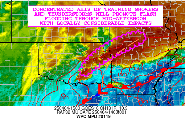
Mesoscale Precipitation Discussion 0119
NWS Weather Prediction Center College Park MD
701 AM EDT Sun Mar 31 2024

Areas affected...Southern California...

Concerning...Heavy rainfall...Flash flooding possible

Valid 311100Z - 311700Z

SUMMARY...Potential for slow, perhaps stationary widely scattered
shallow thunderstorms with capability of 1-1.5"/hr totals will
continue to pose focused, highly localized flash flooding
potential this morning.

DISCUSSION...GOES-W WV and EIR suite depicts the seasonally
anomalous deep closed low (2-3 std dev) continues to wobble
southwest of the Channel Islands.  The core vorticity center
continues to be well defined along the south-southwest edge of the
larger circulation starting to press eastward.  This, in
combination with exiting subtropical jet streak through the Desert
Southwest continues to provide a favorable ascent pattern aloft
across the California Bight into Southern California;  while in
the lowest levels south to southeasterly confluent flow enhanced
by topographic channeling of the flow along the coastal region
continues to provide ample but focused moisture convergence from
the Santa Barbara coast toward NW LA county coast.  WV/EIR loop
also depicts the old occlusion boundary is starting to sag
southward across central CA with the nose of a jet streak starting
to press southwestward out of the central Sierra.  This will
further accelerate low level winds and moisture convergence but
with limited mid-level steering given the axis of the mid-level
trof lies across the northern channel islands through the southern
Sierra Nevada/Tehachapi Range.

CIRA LPW denotes modest remaining moisture along this low level
confluence axis with Sfc-700mb moisture near .5-.7", combined with
steep/cold mid-level lapse rates (likely to further steepen with
DPVA associated with rounding shortwave); instability of 750+ J/kg
will continue to support stronger updrafts capable of vertical
moisture loading with up to 1.5-1.75"/hr. This may result in a
spot or two of 1-2" totals across SE Santa Barbara, Ventura into W
LA county where cells may be near stationary at apex of the
mid-level pivot/trof aloft. Further south coverage should be
greater in the southwesterly flow regime aloft from LA to San
Diego county, cell motions may limit duration a bit...but the risk
for intense cores still will result in potential for localized
flash flooding concerns through the morning into the evening.

Gallina

ATTN...WFO...LOX...SGX...

ATTN...RFC...CNRFC...NWC...

LAT...LON   34862024 34581868 34261755 33301680 32521680
            32541787 33071932 33602006 34182049 34672068
Download in GIS format: Shapefile
| KML
Last Updated: 701 AM EDT Sun Mar 31 2024
