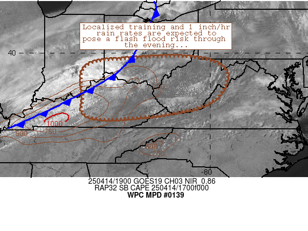
Mesoscale Precipitation Discussion 0139
NWS Weather Prediction Center College Park MD
1125 AM EDT Tue Apr 09 2024

Areas affected...Central and Eastern TX

Concerning...Heavy rainfall...Flash flooding likely

Valid 091525Z - 092125Z

SUMMARY...Very heavy showers and thunderstorms including concerns
for additional cell-training will continue across areas of central
and eastern TX. Additional areas of flash flooding are likely, and
locally significant flash flooding is possible.

DISCUSSION...The GOES-East IR satellite imagery shows an expansive
axis of cold-topped convection associated with very heavy showers
and thunderstorms focusing across areas of central and eastern TX,
with the more robust convective growth over the last hour seen
generally along a line from near Burnett through Waco and up into
the Corsicana area. Some rainfall rates with this activity are
reaching into the 2" to 3"/hour range.

The activity continues to locally organize and focus in response
to the nose of a moist southerly low-level jet of 30 to 40 kts
overrunning a quasi-stationary front generally oriented west/east
across the region. A well-defined and substantial pool of
instability is noted near and south of the front, which includes
MLCAPE values of 1500 to 2000+ J/kg across the Hill Country.

This moderate to strongly unstable airmass coupled with focused
low-level moisture convergence and increasingly divergent flow
aloft ahead of a deeper layer trough/closed low ejecting east into
the southern High Plains is expected to favor a continuation and
localized expansion of convective activity over the next few hours.

Many areas across northern and eastern TX have already seen heavy
rainfall and flash flooding early this morning, and additional
very heavy rainfall totals are expected over the next few hours
which may total as much as 4 to 6 inches with isolated heavier
amounts not out of the question where any cell-training occurs.

The greatest likelihood for this is along the aforementioned
corridor from near Burnett through Waco and into Corsicana.
Adjacent areas of central and eastern TX near and north of the
front are likely to see heavy rainfall as well with somewhat
lesser totals at least through mid-afternoon. Upstream convection
approaching from the TX Panhandle and northwest TX will also need
to be closely monitored as that activity associated with the
leading edge of the upper-trough will promote eventually a renewed
heavy rainfall/convective threat to the Dallas metropolitan area.

Additional areas of flash flooding are likely, and locally
significant flash flooding will be possible given the very heavy
rainfall rates reaching as high as 2" to 3"/hour, enhanced storm
totals, and sensitive ground conditions including urban runoff
considerations.

Orrison

ATTN...WFO...EWX...FWD...HGX...OUN...SHV...SJT...

ATTN...RFC...ABRFC...LMRFC...WGRFC...NWC...

LAT...LON   33959889 33569750 33259634 33189548 32889422
            32079412 31529529 30919680 30339788 30279863
            30809880 31659842 32319860 32889931 33579944
Download in GIS format: Shapefile
| KML
Last Updated: 1125 AM EDT Tue Apr 09 2024
