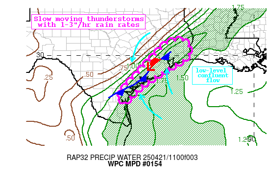
Mesoscale Precipitation Discussion 0154
NWS Weather Prediction Center College Park MD
123 AM EDT Fri Apr 12 2024

Areas affected...Western NY...Western to Central PA... Adj
Northwest MD...Far Eastern WV...

Concerning...Heavy rainfall...Flash flooding possible

Valid 120530Z - 121100Z

SUMMARY...Some threat for flash flooding continues overnight due
to training storms across complex terrain, though overall coverage
and magnitude will be diminishing with time.

DISCUSSION...GOES-E WV shows a potent southern stream shortwave
lifting north across S West Virginia at this time being kicked
from the base of the larger scale polar trough lifting out of the
Cumberland Plateau (ahead of the undercutting jet in the Tennessee
Valley).  So combined with the stronger DPVA along/ahead of the
wave, broadening diffluence across the Allegheny Plateau and
steepening mid-level lapse rates with CAA aloft keeps an
environment for scattered thunderstorms.  While much of the
temperature/dewpoint depressions have fallen to near zero; modest
moisture of upper 50s and low 60s have streamed northward through
the terrain, with CIRA LPW denoting very anomalous moisture in the
sfc-850 and modest 850-700mb layers still advecting across central
PA into south-central Upstate NY with providing ample moisture
flux to any ongoing lingering convection.  At this time, profiles
still support some 200-300 J/kg of MUCAPE to allow for some
vertical development to maintain/weaken slowly in the region of
continued best ascent.  Rates of up to .75" are possible with
smaller convective elements, but more likely .25-.5"/hr rates will
remain with those remaining cells...so duration is going to remain
key for any potential flash flooding downstream into W NY, central
PA.

Given the terrain of central PA remains favorably oriented to deep
layer steering (near parallel) and low level flow still suggests
some orthogonal easterly component along/ahead of the shortwave;
there remains some potential for training.  As such, high-res CAMs
and last WoFS runs suggested a few stripes of 1-2" totals remain
especially across along and east of the track of the mid-level
shortwave (which appears to be crossing W PA)...placing best
potential from Bedford to Potter counties.

Though this is not very much rainfall; however, given recent
saturated ground conditions (200-300% of normal in last 2 weeks)
across complex/steep terrain; FFG values are well below normal and
within range of exceedance given 1-2" potential.   As such, cannot
rule out a spot or two of flash flooding through the overnight
hours and flash flooding is considered possible...even as the
overall trend of intensity and coverage continues to diminish.

Gallina

ATTN...WFO...BGM...BUF...CLE...CTP...LWX...PBZ...

ATTN...RFC...MARFC...NERFC...OHRFC...NWC...

LAT...LON   43147858 43017775 42597727 41847683 40587658
            39577682 39297850 40357926 41637968 42427946
            42987905
Download in GIS format: Shapefile
| KML
Last Updated: 123 AM EDT Fri Apr 12 2024
