| WPC Met Watch |
|
|
Mesoscale Precipitation Discussion: #0066 |
|
(Issued at 1105 AM EST Mon Feb 19 2024
) |
|
| MPD Selection |
|
|
|
|
|

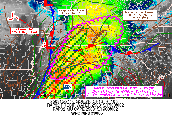
Mesoscale Precipitation Discussion 0066
NWS Weather Prediction Center College Park MD
1105 AM EST Mon Feb 19 2024

Areas affected...portions of southern California

Concerning...Heavy rainfall...Flash flooding likely

Valid 191604Z - 200404Z

Summary...A landfalling atmospheric river will continue to impact
portions of the discussion area with moderate to heavy rainfall
(and attendant flash flooding) through at least 04Z Tuesday.

Discussion...Areas of moderate to heavy rainfall continue across
southern California currently - especially in portions of Santa
Barbara and Ventura Counties.  Numerous areas of 0.25-0.6 inch/hr
rain rates have been observed along with reports of flash flooding
and mud/debris flows.  The rainfall continues as a result of a
landfalling atmospheric river located on the southeastern
periphery of a slow-moving mid/upper low centered near 40.4N,
-130W.  Strong southwesterly flow within the atmospheric river,
orographic lift against coastal ranges, and 1+ inch PW values will
continue to support the ongoing heavy rain/flash flood risk in the
short term.

Models/observations support a very slow, southeastward translation
of this atmospheric river over the next 6-12 hours, with heavier
rainfall eventually impacting more of the Los Angeles Basin and
adjacent areas of the Transverse and Peninsular Ranges across
southern California.  As this occurs, a lengthy duration of 0.25+
inch/hr rain rates is expected in the aforementioned areas,
continuing to support flash flood/debris flow potential.  The
greatest threat for heavy rainfall (and overall 2-4 inch rainfall
totals) should exist from the 10Z-00Z timeframe.  Thereafter, most
models lessen rainfall rates although at least an isolated flash
flood risk should continue given the preceding rainfall and wet
soils.

Cook

ATTN...WFO...HNX...LOX...SGX...

ATTN...RFC...CNRFC...NWC...

LAT...LON   35431912 34631735 33491663 33011692 33071761
            33901937 34492054 35022059 35342000
Download in GIS format: Shapefile
| KML
Last Updated: 1105 AM EST Mon Feb 19 2024
|


