Forming east of the Leeward Islands, Baker passed over Antigua on
August 20th as a hurricane.
Moving west-northwest, the system weakened as it passed by Puerto Rico,
when it was a weak
tropical storm. Once south of Cuba on the 25th, the system
redeveloped, moving across the western
tip of Cuba and turning northward into the Gulf of Mexico before
regaining hurricane strength. It
peaked as a major hurricane while south of Alabama, but weakened prior
to its landfall in southern
Alabama. The resultant heavy rainfall across the Florida
panhandle and southern Alabama caused
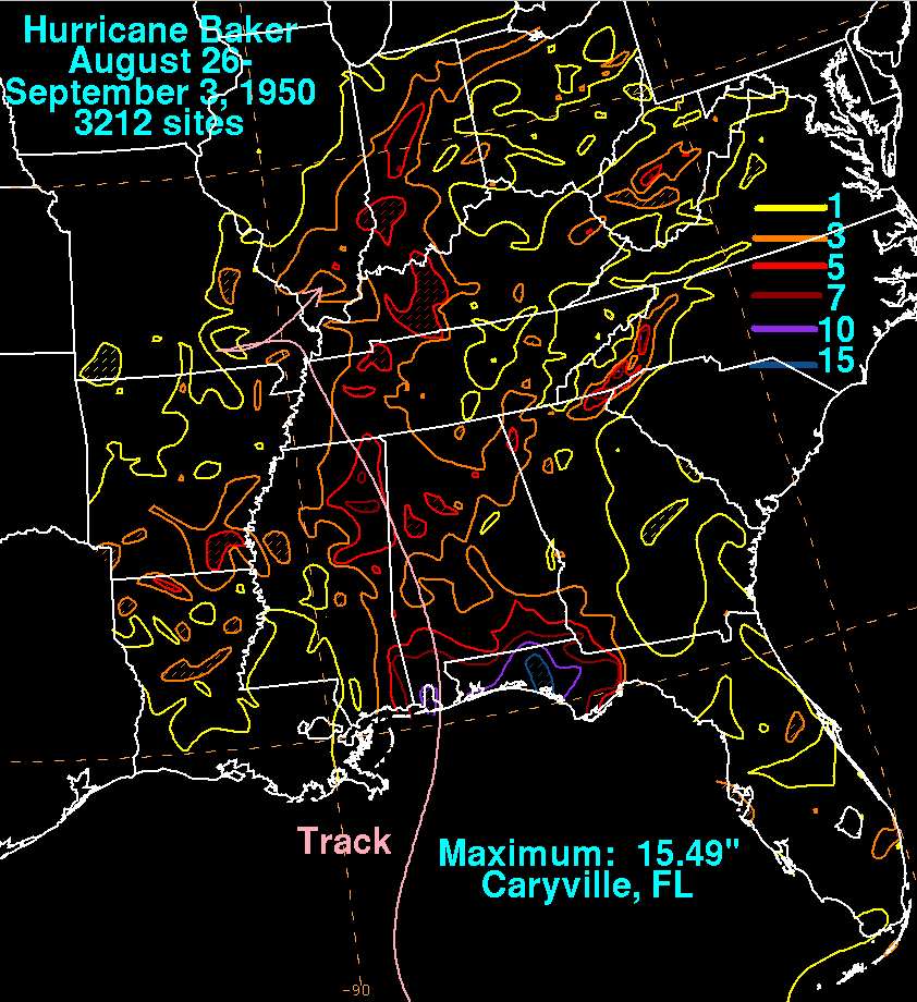
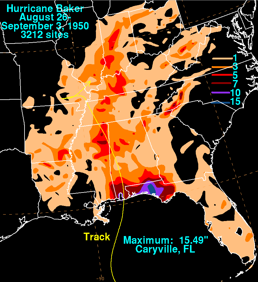
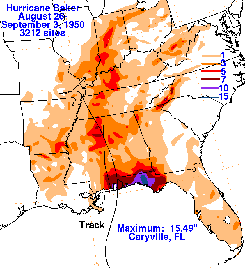
significant crop damage. Below are the rainfall graphics
for Baker, which used data from the National
Climatic Data Center in Asheville, North Carolina.
 |
 |
 |