This system was first detected as a tropical storm 300 miles
east-northeast of Miami on August 24th. This system
moved northward, developing into a hurricane on the 25th. Daisy
accelerated as it gained latitude, moving offshore
the Eastern Seaboard. On the 27th, it reached its maximum
intensity as a category 3 hurricane, before weakening and
becoming an extratropical cyclone soon after clearing New
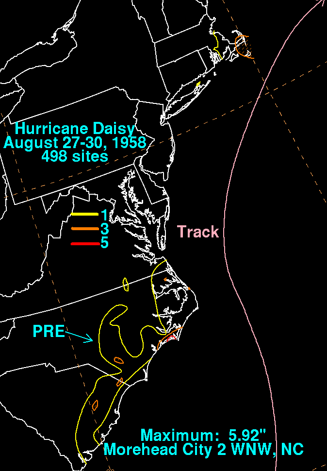
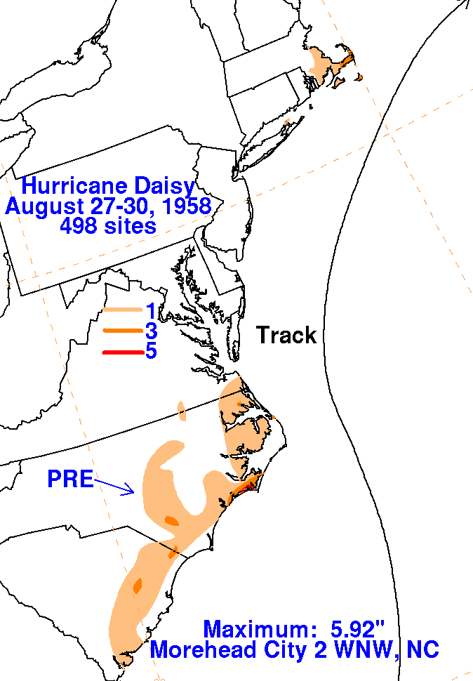
England. The graphics below show the storm total rainfall
from Daisy. The rainfall within the Carolinas formed with a
frontal band well to the north of Daisy. Rainfall data was
provided by the National Climatic Data Center in Asheville, North
Carolina.
 |
 |
 |