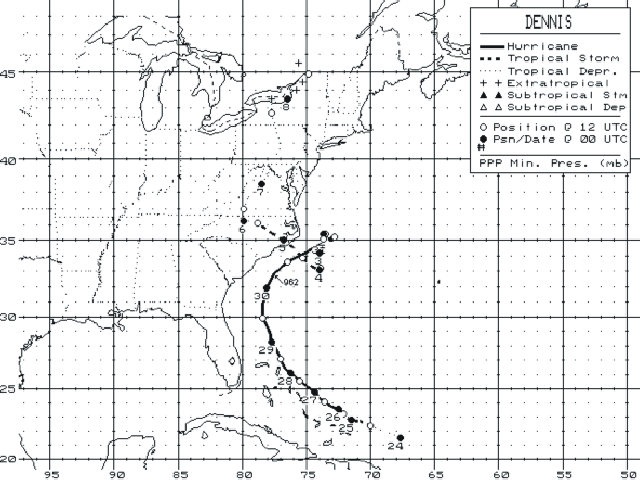
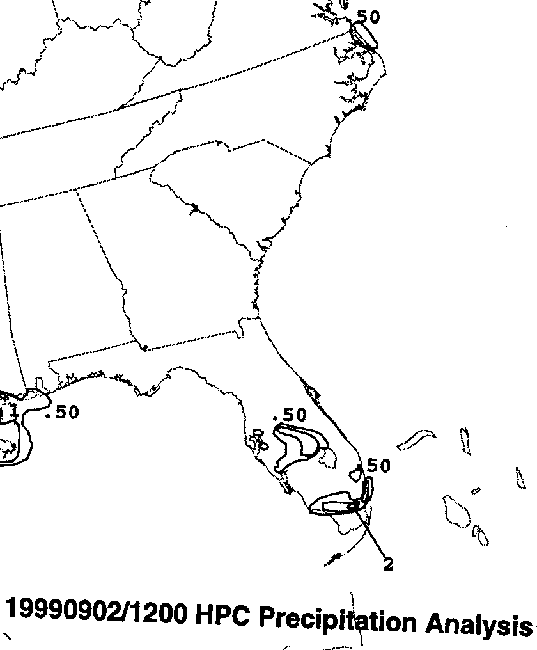
A tropical wave moved off the west coast of Africa on August
17th.
It moved westward with no
signs of development until the 21st, when thunderstorms increased with
the wave. A low level
circulation developed, and a tropical depression formed 190 miles east
of Turks Island in the
Bahamas on the evening of the 23rd. Strengthening continued
despite
westerly shear, and Dennis
became a tropical storm on the morning of the 24th, and a hurricane
early on the 26th. Once the
unfavorable upper winds lessened late on the 27th, Dennis reached its
peak intensity of a category
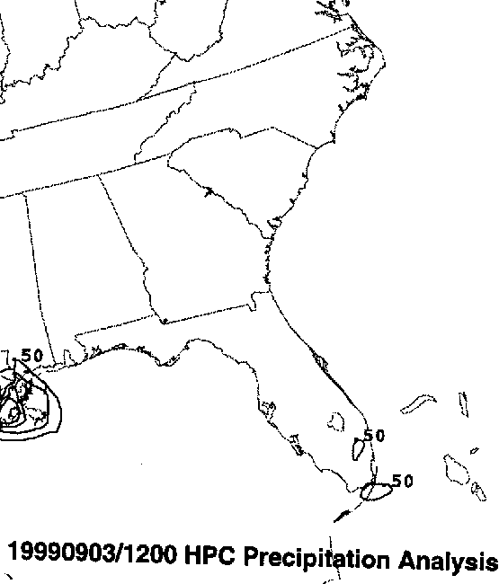
two hurricane off the northwest Bahamas on the 28th. An upper
level trough allowed the storm to
track northward, but before it could get caught up in the westerlies,
the upper trough passed the
system by, leaving Dennis to lose all thunderstorm activity and stall
110 miles east of Cape Hatteras
on August 31st. It was at this time that cool air enveloped the
circulation, its wind field expanded
towards New Jersey, and Dennis took on a subtropical appearance...one
it would keep for a
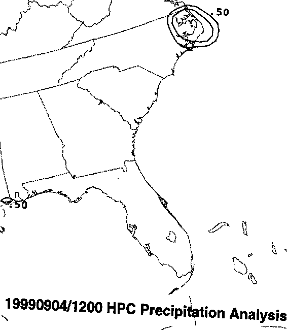
a couple days. After days of meandering, a high pressure ridge
developed in the eastern United
States, allowing Dennis to move westward and reacquire tropical
characteristics,
such as
thunderstorms near the center and a warmer core. It made landfall
near Cape Lookout on
the verge of becoming a hurricane during the afternoon of the
4th.
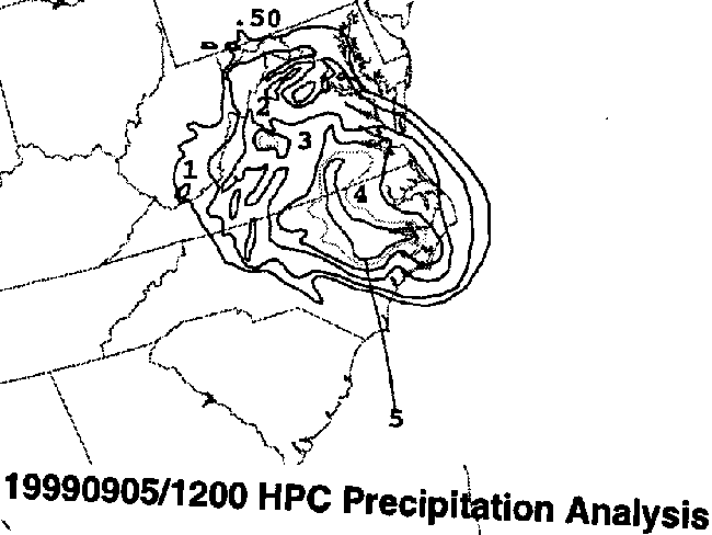
It moved up the spine of the
Appalachians, and became a frontal wave over Lake Ontario on the 7th,
before becoming
absorbed by a larger low on the 9th. The track of Dennis lies
below, courtesy of the National
Hurricane Center.
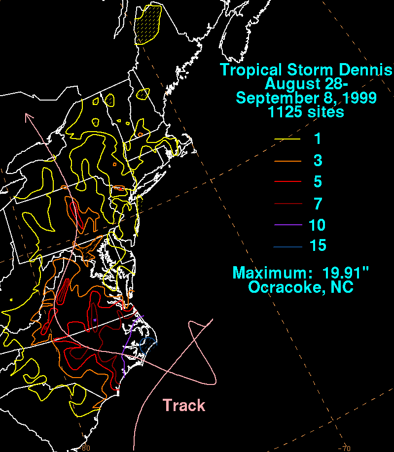
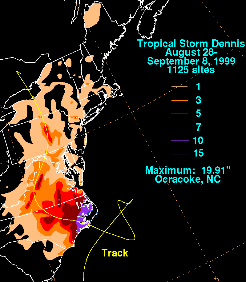
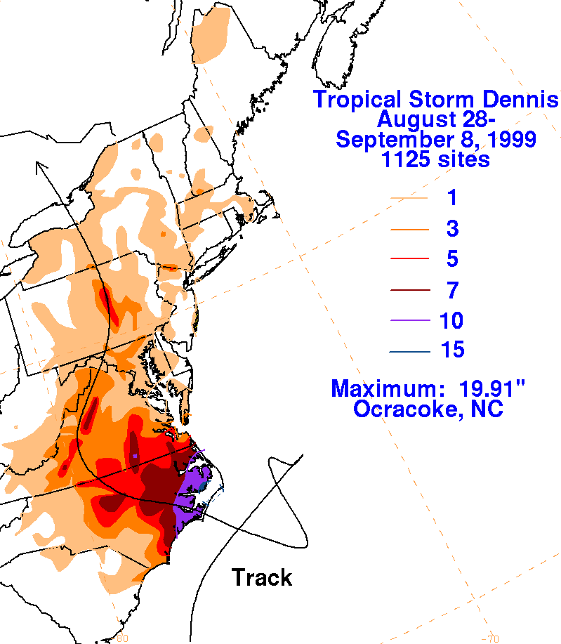
On the graphic below is the storm total rainfall for Dennis.
Note
the maximum in southeast
North Carolina, near and to the right of the point of landfall,
and
the secondary
maxima in the
mountains of Virginia and central Pennsylvania near its track.
Some
of the rain in
the Mid-
Atlantic occurred along a coastal front which formed ahead of Dennis'
circulation. The map
below was generated using data
provided by the
National Climatic Data Center.
 |
 |
 |
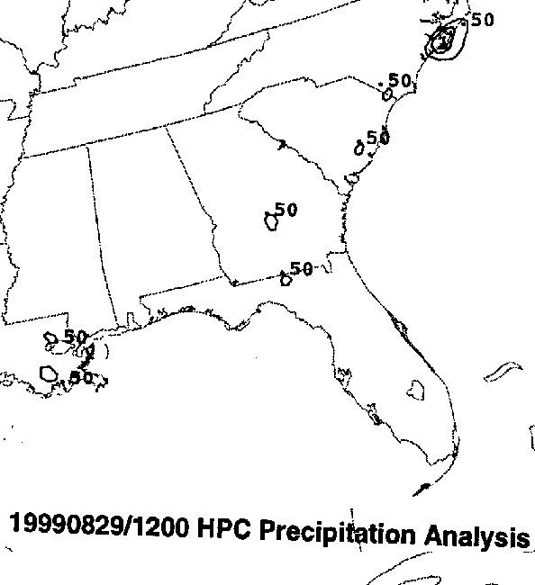
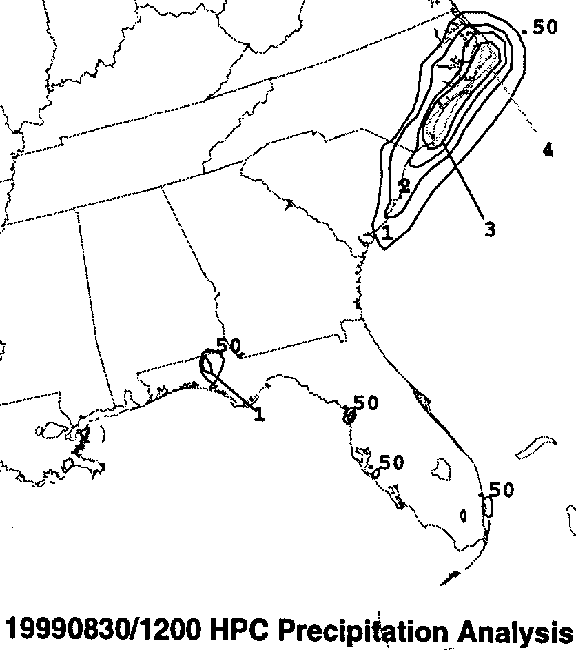
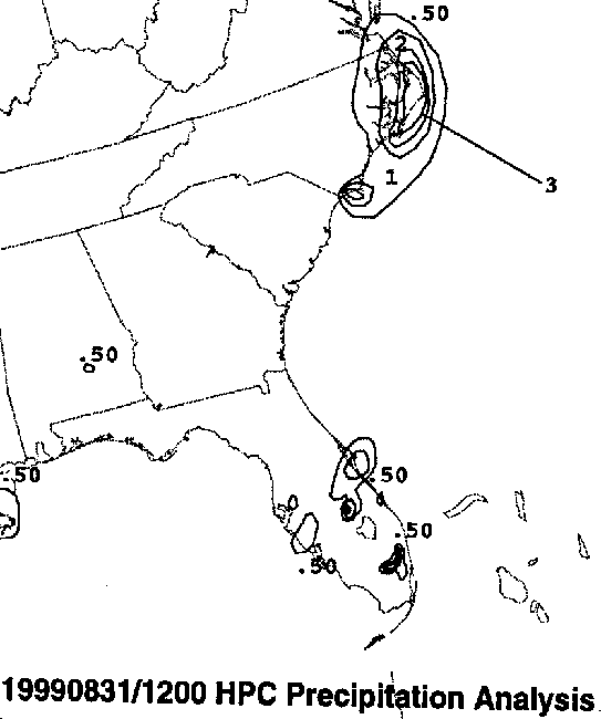
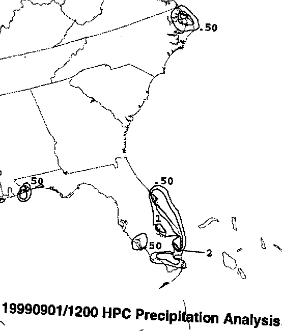
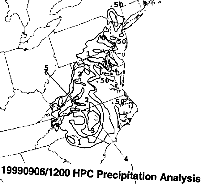
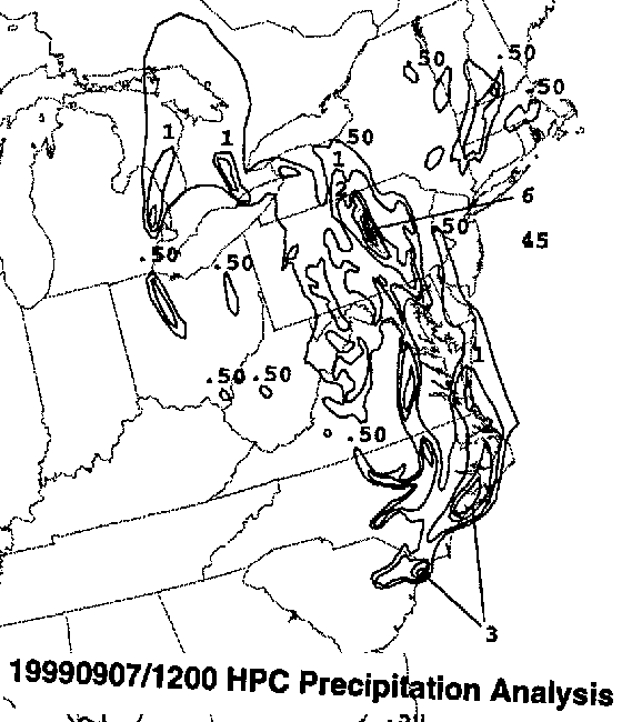
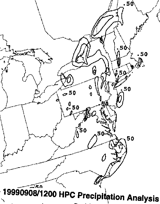
Below is the calendar for Daily Precipitation Maps. Note that
the 24-hour periods end
at 12z that morning.