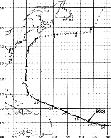
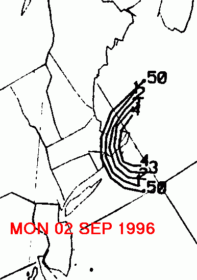
The strongest hurricane of the 1996 hurricane season began as a cyclonic cloud circulation
which was moving across western Africa on the 17th and 18th of August. Emerging off the
coast on the 19th, it immediately became a tropical depression. Moving westward across
the tropical Atlantic, the system developed into a tropical storm by the 22nd. A deep
cyclonic circulation east of Bermuda created a weakness in the high to Eduoard's north,
which caused a change in track towards the west-northwest. Edouard reached hurricane
force on the 23rd, and a major hurricane on the 24th. Maximum sustained winds increased
to 145 mph on the 26th and during the evening of the 27th.
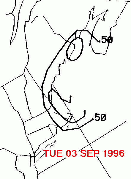
Moving to the north of the Lesser Antilles, it began to track more
to
the north as a mid-
level trough developed near the East Coast. As it departed the
tepid waters of the southwest
Atlantic, its intensity slowly waned. By the 1st, Edouard's path
looked to clip New England
while retaining 70 kt...85 mph...winds. Edouard veered sharply
to the east just before reaching
the coast of Massachusetts, missing by a mere 75 nautical miles on
the 2nd. This is the time
period when Eduoard's rains drenched southeast New England.
Edouard
had been caught up
in the Westerlies by this time, and became extratropical on the 3rd,
moving well south of the
Maritime Provinces of Canada. Its track is below, and was
provided
by the National
Hurricane Center.
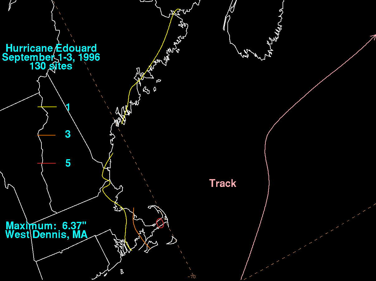
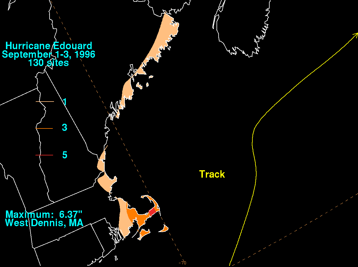
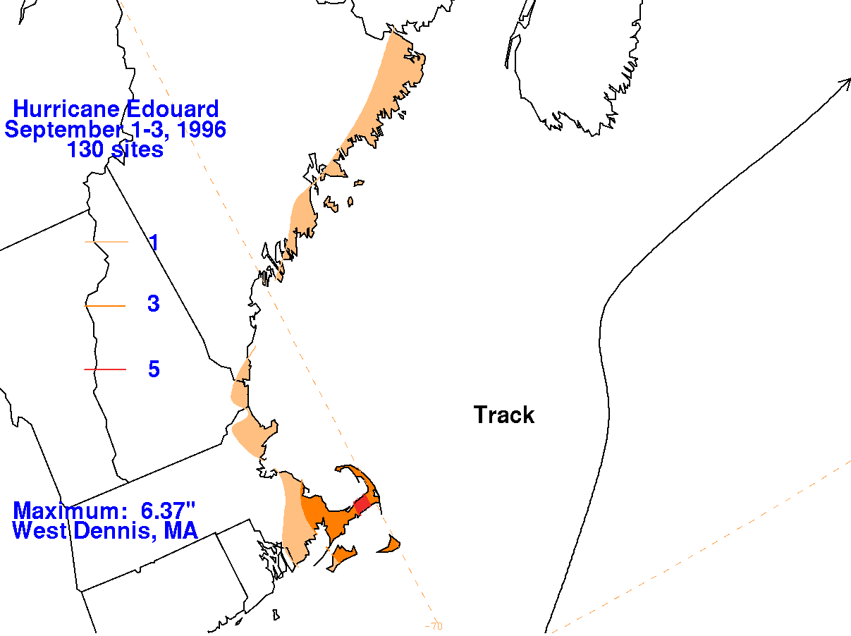
On the graphic below is the storm total rainfall for Eduoard.
Note the maximum in heavy
rains occurred just north on the neck of Cape Cod. Data for this
system was provided by the
National Climatic Data Center in Asheville, North Carolina.
 |
 |
 |
Below is the calendar for Daily Precipitation Maps. Note
that
the 24-hour periods end
at 12z that morning.