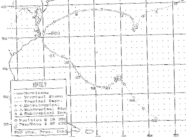
The tropical wave that spawned Emily move off the west coast of
Africa
into the Cape Verde Islands
on August 17th. Five days later, convective organization had
improved and a tropical depresssion formed
700 miles east-northeast of Puerto Rico. The system moved
northwest
for 2 days before encountering weak
steering currents and becoming stationary as it began to
intensify.
A ridge eventually built to the north of
Emily on the 26th, causing the system to move westward while 900 miles
east of Florida. After briefly
becoming a hurricane on the 26th, it fluctuated in intensity between
hurricane and tropical storm as the
system moved west-northwest.
As it rotated around the ridge, Emily moved more to the north,
scraping
the Outer Banks of North Carolina
as a major hurricane. Up to 10 feet of storm surge ran ashore
the Pamlico sound side of Hatteras Island.
By the 2nd, the storm moved eastward away from the United States,
weakening
to a tropical storm while
it stalled between Bermuda and the Azores on the 3rd. It then
moved northeast as a tropical depression,
becoming a frontal wave on the 6th before dissipation. The track
below was provided by the National
Hurricane Center.
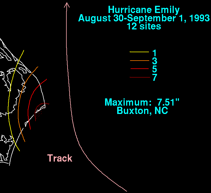
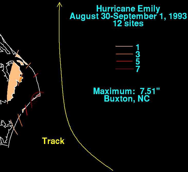
On the graphic below is the storm total rainfall for Emily.
Note
the maximum in heavy
rains occurred in the Outer Banks, near the center of the cyclone.
 |
 |
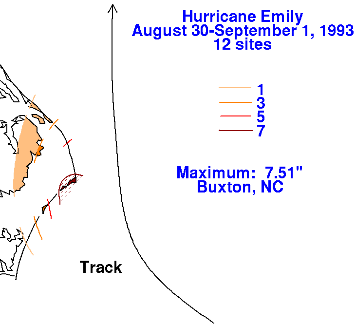 |
Since virtually all the precipitation occurred in a 24 hour period, no daily precipitation maps were included for Emily.