A squally tropical wave was noted east of the Leeward Islands on
September 21st. Moving west-northwest,
a disturbed area of weather developed into a tropical storm 300 miles
northeast of Hispaniola on the 23rd. The
cyclone strengthened, becoming a hurricane on the 24th. The
hurricane turned northwest and slowed as it
approached the coast of the Carolinas. The storm recurved
just offshore the coast of the Carolinas, bringing
heavy rain and high winds to the North Carolina coast. The system
accelerated east-northeast thereafter, moving
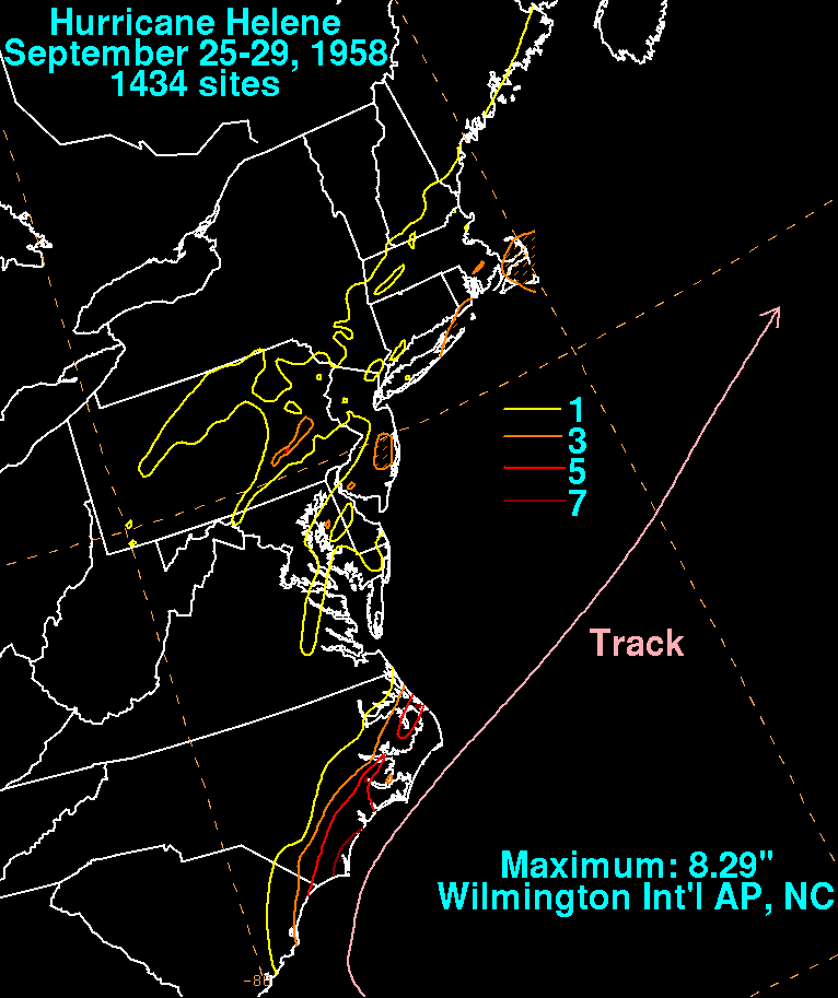
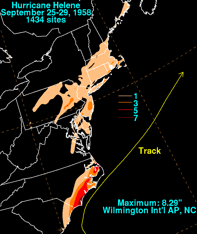
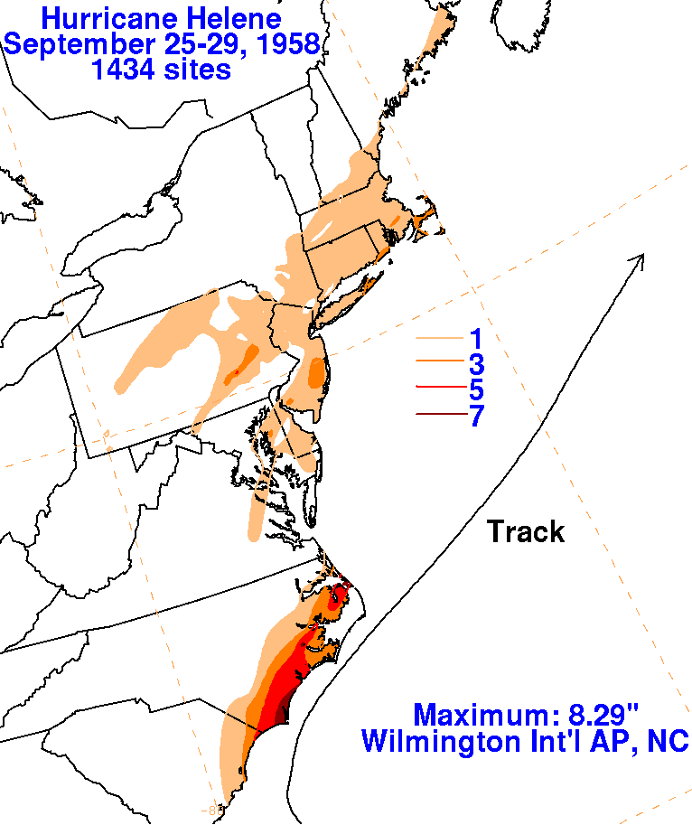
into the North Atlantic shipping lanes. The graphics below the
storm total rainfall for Helene. The rainfall across
the Mid-Atlantic and New England states occurred as Helene's moisture
was intercepted by a frontal boundary
to its north.


