A tropical wave emerged off the coast of Africa on August
15th. It moved uneventfully across the tropical
Atlantic and Caribbean Sea, reaching the eastern Pacific on the
29th. Deep convection formed near the wave
axis which spurred the development of a surface low. The system
became a tropical depression on September
1st while only 150 miles offshore Mexico. Paralleling the coast
of mainland Mexico, the system moved
northwest becoming a tropical storm on the 2nd and a hurricane on the
3rd while closing to 100 miles off the
coast of Puerto Vallarta. Turning more westward, Henriette struck
the extreme southern tip of Baja California
midday on the 4th as a category two hurricane. After clearing
Baja California, Henriette continued westward
into cooler waters, and its convection eventually ceased by the
7th. The resulting swirl of low clouds continued
westward to about 900 miles off the coast of Baja California.
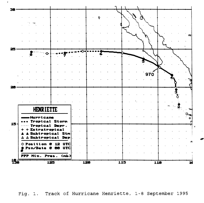
Below is its track, provided by the National
Hurricane Center.
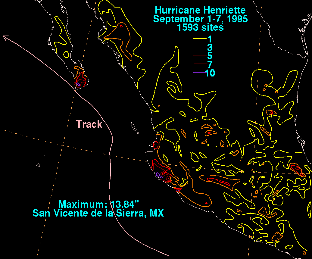
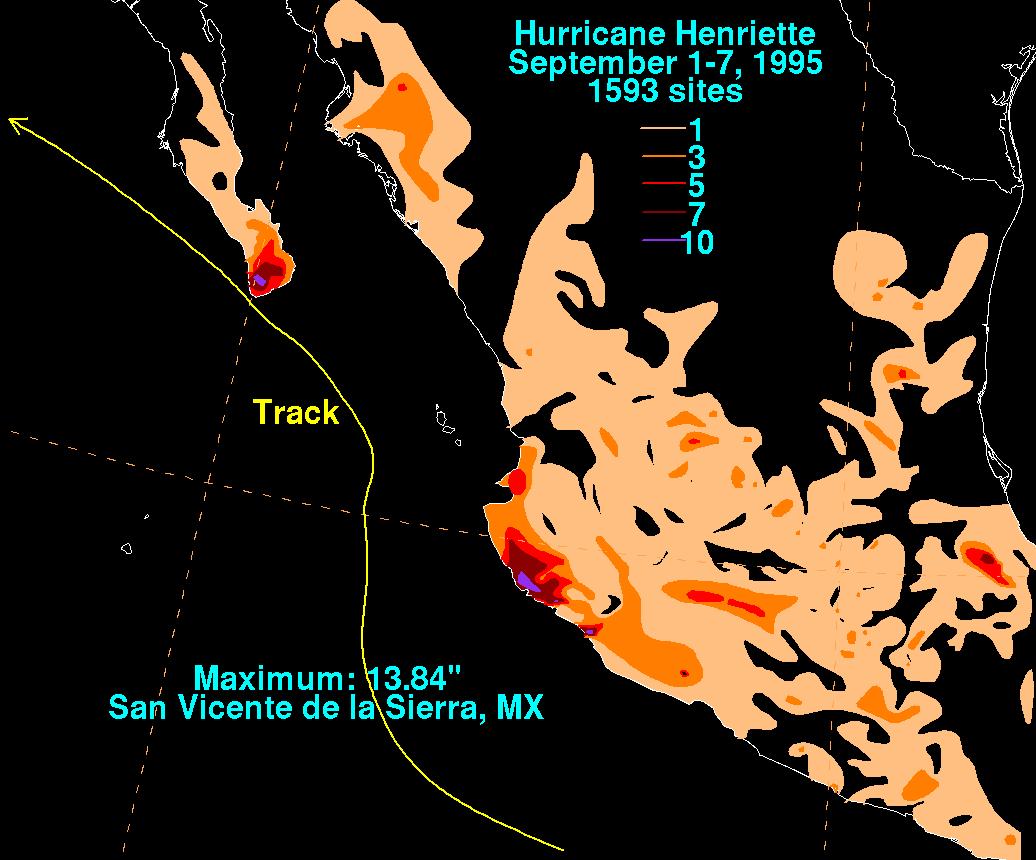
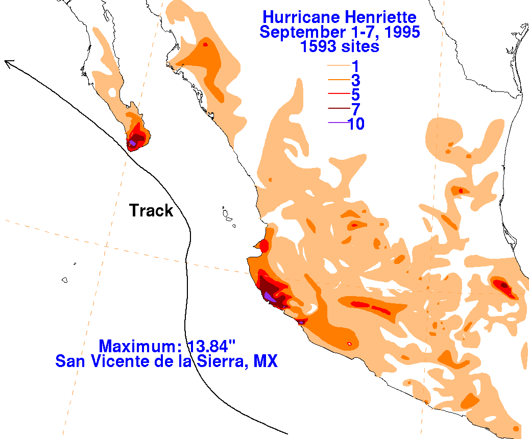
Rainfall
information for Mexico was obtained from the Comision Nacional del
Agua, the parent
agency of Mexico's national weather service.
 |

|

|
