A large area of low pressure emerged from the African continent on September 6th. The system organized within a favorable upper
level environment, becoming a tropical depression, then tropical storm, on the 8th. A second tropical wave approached from its east,
also accompanied by an area of low pressure. Igor weakened back into a tropical depression while the two systems merged near
the Cape Verde Islands. After consolidation, Igor strengthened back into a tropical storm on the 10th, and a hurricane on the 11th,
while moving westward across the tropical Atlantic ocean. On the 12th, rapid intensification ensued, and Igor became a category 4
hurricane that afternoon. The system wavered in intensity over the next few days to the east of the Leeward Islands.
The system slowly weakened thereafter due to eyewall replacement cycles within the storm's core. On the 17th, Igor was no longer a
major hurricane and had turned northwest towards Bermuda. Weakening further as it bypassed the island on the 19th, Igor began to
slowly transition into a extratropical low pressure area. While doing so, the cyclone strengthened slightly as it passed Cape Race,
Newfoundland on the 21st and become completely extratropical later that day.
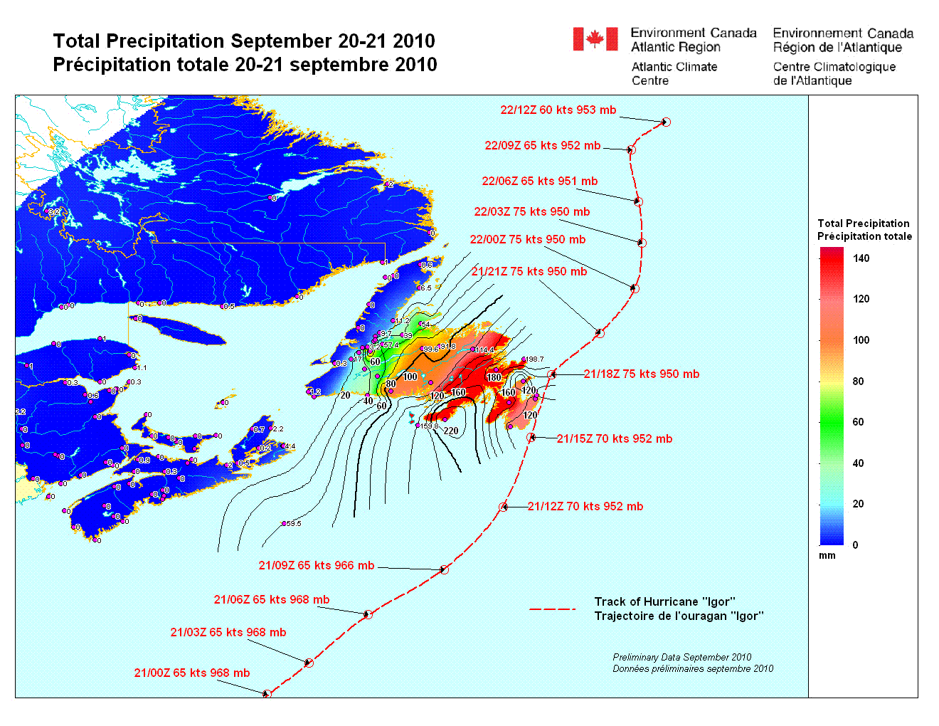
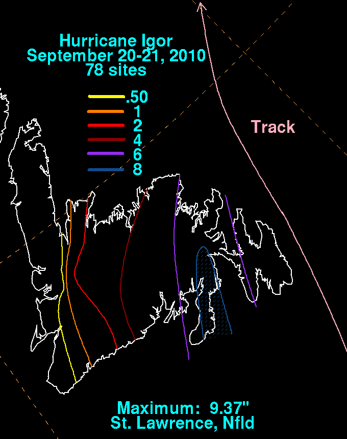
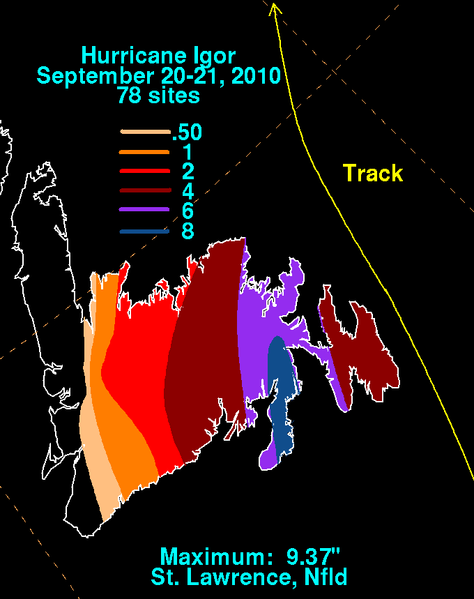
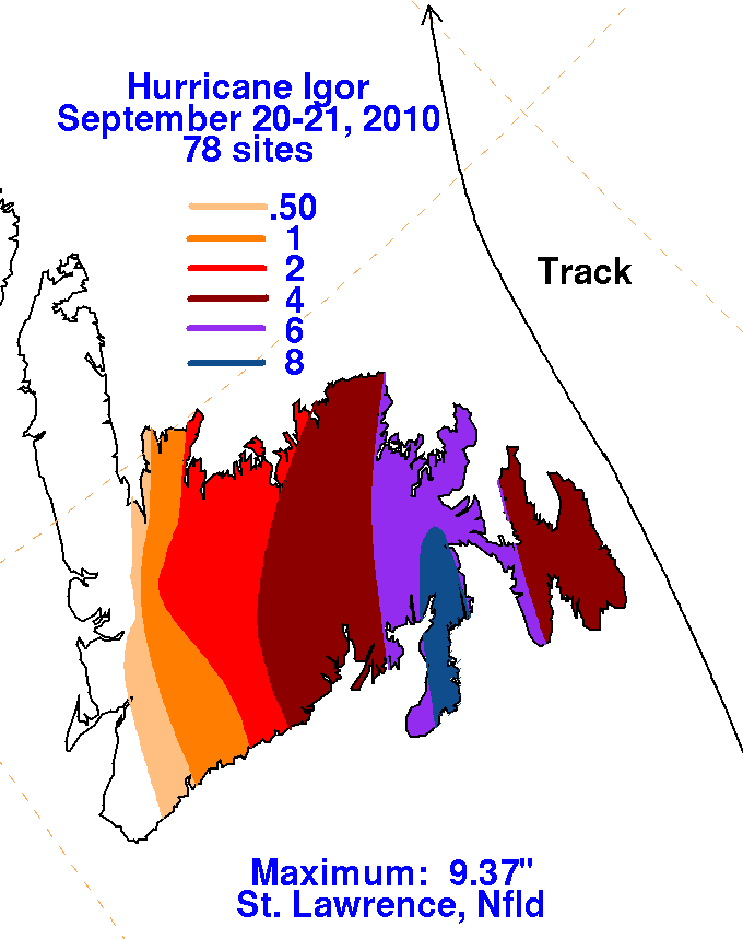
Data for the rainfall graphics below, in units of inches, was provided by Environment Canada. The graphic below in millimeters was
provided by Environment Canada. Heavy rains were focused along a pre-existing frontal zone on the 20th and 21st which intercepted
Igor's high amounts of moisture from the Atlantic ocean producing very heavy rains. Igor is the third wettest known tropical cyclone
or remnant to impact Atlantic Canada.
 |
 |
 |
 |