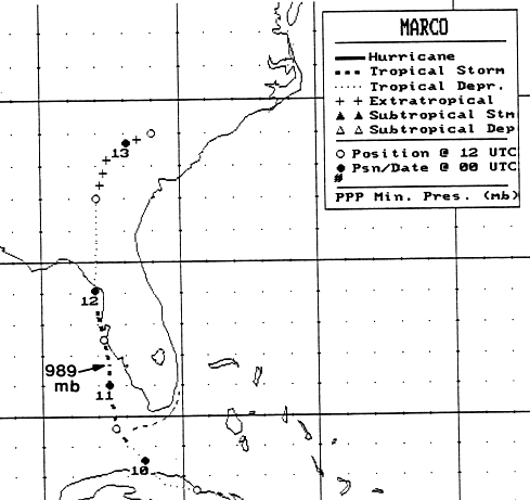
Early on the 9th of October, Tropical Storm Klaus was located east of the Bahamas, moving northwest,
and becoming poorly organized. In the meantime, a cold low aloft was developing over Cuba. By the
morning of the 9th, Klaus was dissipating and a new low developed over central Cuba. Initially subtropical
in character, the system moved west-northwest along the north coast of Cuba, and became a tropical storm
as it emerged into the Florida Straits in the early morning hours of the 10th. After passing between the
Dry Tortugas and Key West, Marco turned northward and intensified, at times showing a partial eyewall
on radar imagery. Winds increased to 65 mph as the pressure fell to 989 hPa. Interaction with land
and shear aloft weakened Marco, which quickly devolved into a tropical depression before striking
Cedar Key on the morning of the 12th. The low then moved northeast, then eastward, lured by the
circulation around the southwest periphery of Hurricane Lili offshore North Carolina. Marco's track
is below, provided by the National Hurricane Center.
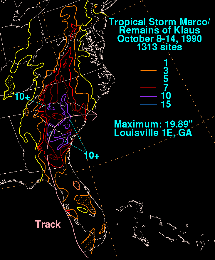
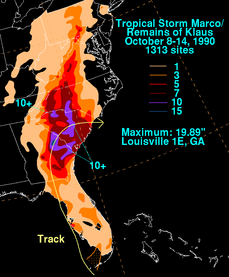
On the graphic below is the storm total rainfall for
Marco/Klaus...data
provided by the National
Climatic Data Center in Asheville, NC. The highest rainfall
reports were near the track of the low,
with other high amounts in the orography of the central Appalachians
near a frontal boundary
draped over the north side of the system.
 |
 |
 |