The disturbance that led to Naomi formed 800 miles south-southwest
of Mazatlan on October 22nd.
The system moved west until the 23rd, when it turned towards the
north. The system intensified into
a tropical depression late on the 24th and a tropical storm on the
25th. Recurving to the northeast,
Naomi intensified only slightly due to westerly winds aloft. By
late on the 27th, acceleration to the
east-northeast had begun, The cyclone missed Baja California by
nearly 90 miles to the south
during the day on the 28th. The tropical storm came ashore near
Mazatlan on the morning of the
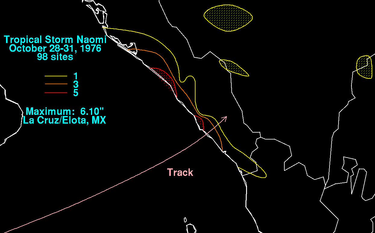
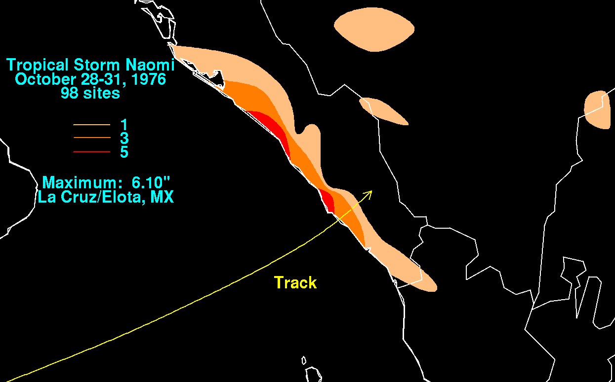
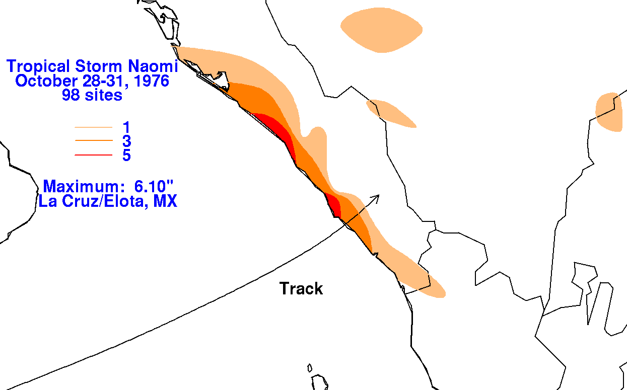
29th, weakening rapidly over the Sierra Madre Occidental. Below are the
storm total rainfall maps
related to Naomi. Data for
the maps was obtained from the Comision Nacional del Agua, the parent
agency of Mexico's National Weather Service.
 |
 |
 |