and October 10-16, 1997
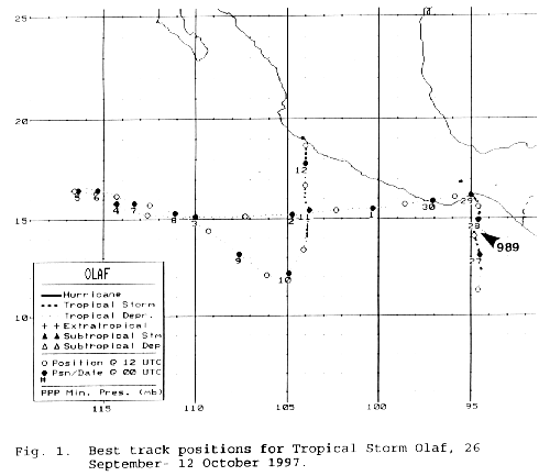
A tropical wave crossed Central America on September 22nd.
Moving very slowly to the west, a tropical
disturbance developed across the Gulf of Tehuantepec as a strong upper
low moved southwest from the Gulf
of Mexico into the eastern Pacific to its west. By the morning of
the 26th, a tropical depression had organized,
which strengthened into a tropical storm soon afterwards. The
upper low to its west steered Olaf northward into
the coast of the Mexican Isthmus, where it weakened into a tropical
depression. The depression moved westward
back offshore the Mexican coast by October 5. Moving westward for
the next few days, Hurricane Pauline, a larger
cyclone, moved around Olaf's eastern periphery into southern
Mexico. This led to Olaf turning back to the east
for the next few days, before turning northward into the coast of
Mexico near Manzanillo on the 12th. Below is
the track for Olaf, courtesy of the National Hurricane
Center.

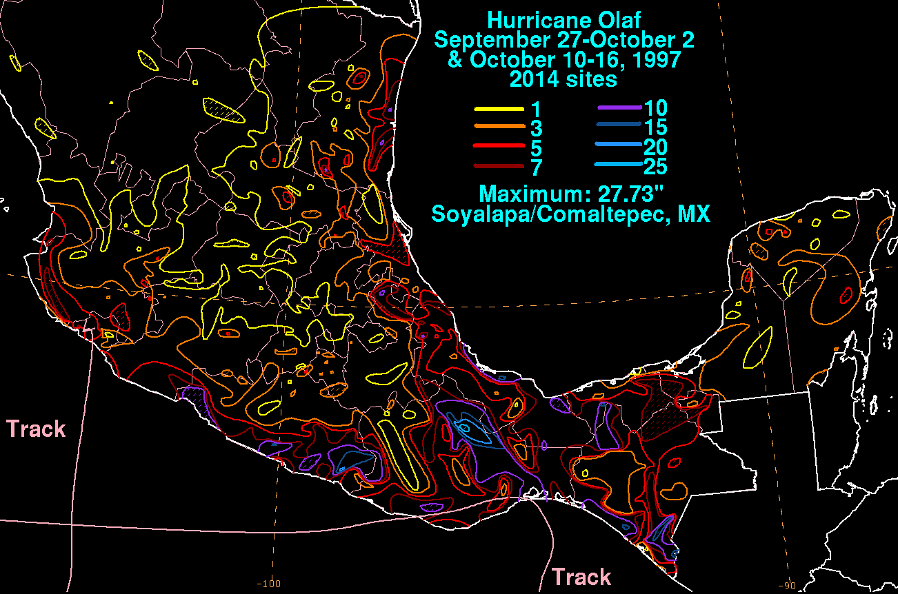
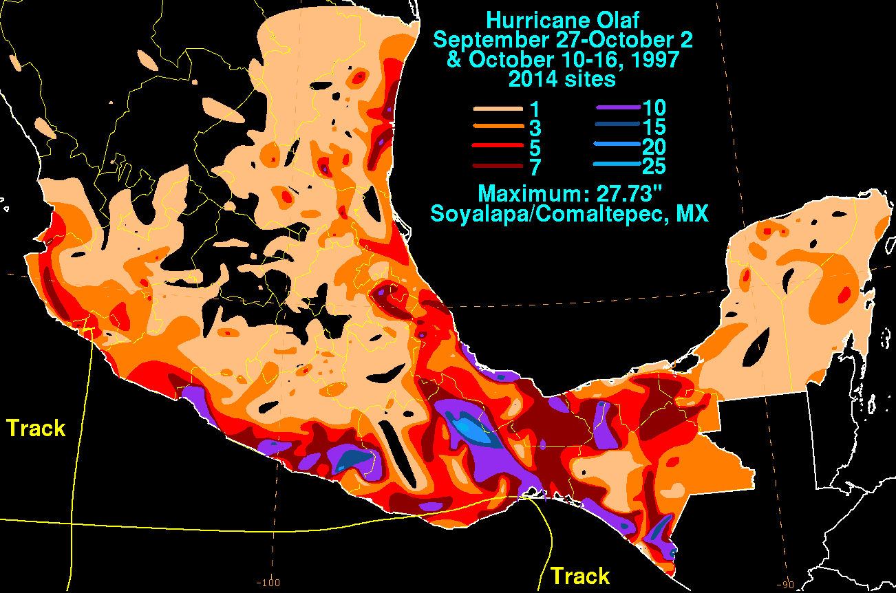
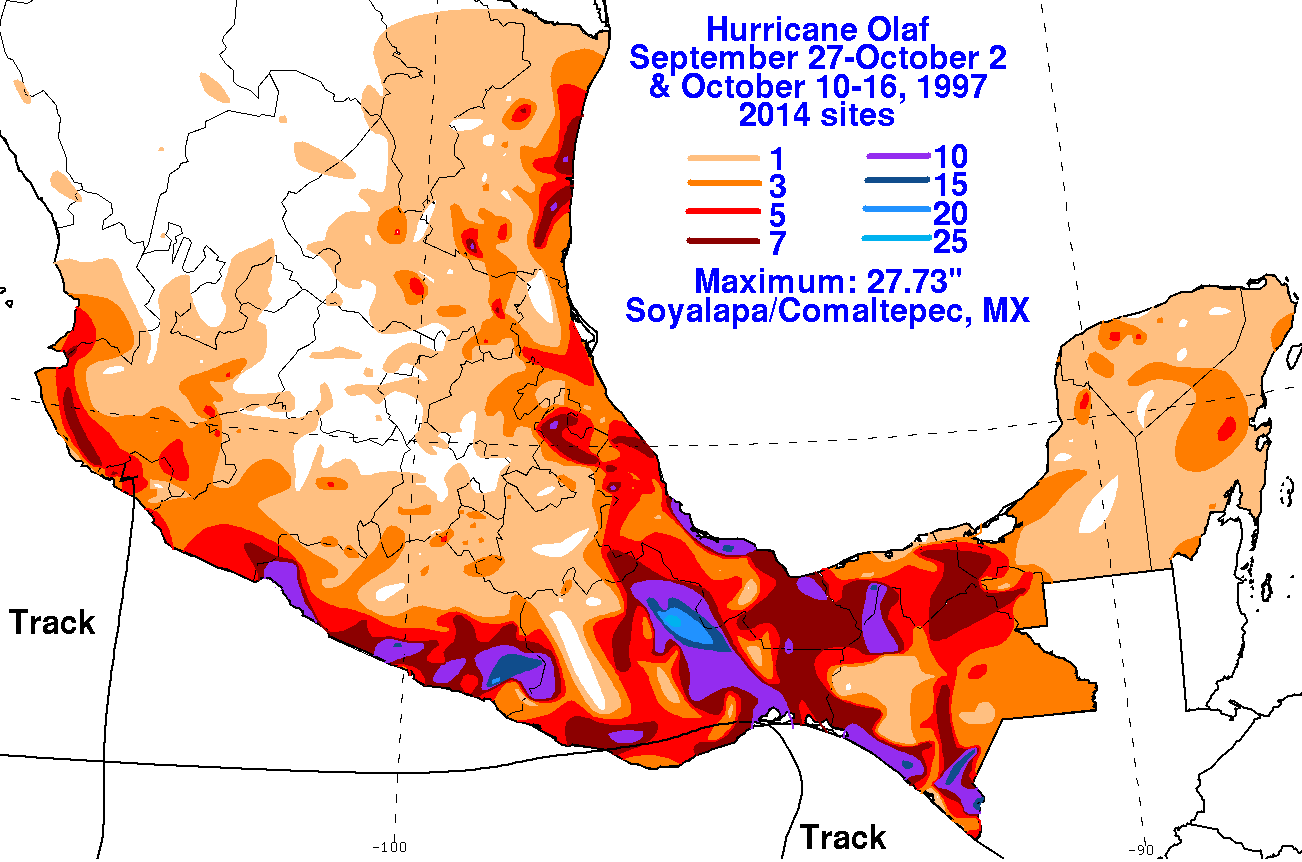
The graphics
below show the storm total rainfall for Olaf. Between Olaf and
Pauline, a significant amount of
rainfall fell across southern Mexico. Rainfall data was provided
by the Comision Nacional del Agua, the
parent
agency of
Mexico's National Weather Service.
 |
 |
 |