A tropical wave left the west coast of Africa on October 16th, moving westward across the Atlantic for several days.
By the 24th, it had moved into the central Caribbean sea in proximity to a previously formed Central American Gyre.
A broad area of low pressure formed near the coast of Nicaragua on the 25th. On the 26th, showers and thunderstorms
around the low became better organized. As the low moved the northeast coast of Honduras on the 27th, it remained
broad and without a well-defined center. Turning north-northeast, the low became better defined and a tropical
depression is deemed to have formed on the morning of the 28th as it approached the Isle of Youth, Cuba. By
that afternoon, the system had strengthened into a tropical storm and was named Philippe. Its center dissipated
over Cuba soon after landfall, and its remains were captured by an area of low pressure moving southeast through
the Gulf of Mexico and a new area of low pressure which formed near the Gold Coast of southeast Florida. This
second low moved northeast bringing tropical-storm force winds to portions of the southeast Florida coast
and Bahamas. While surface analyses are vague, satellite imagery appears to show this convective frontal
wave moving rapidly north-northeast into Nantucket by the 30th, setting a new record low sea level pressure
for the month of October at that site.
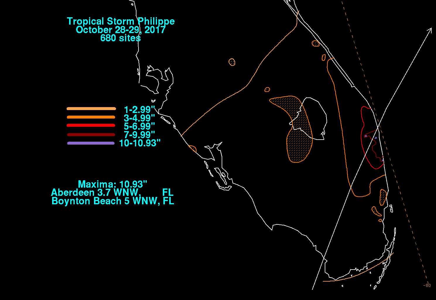
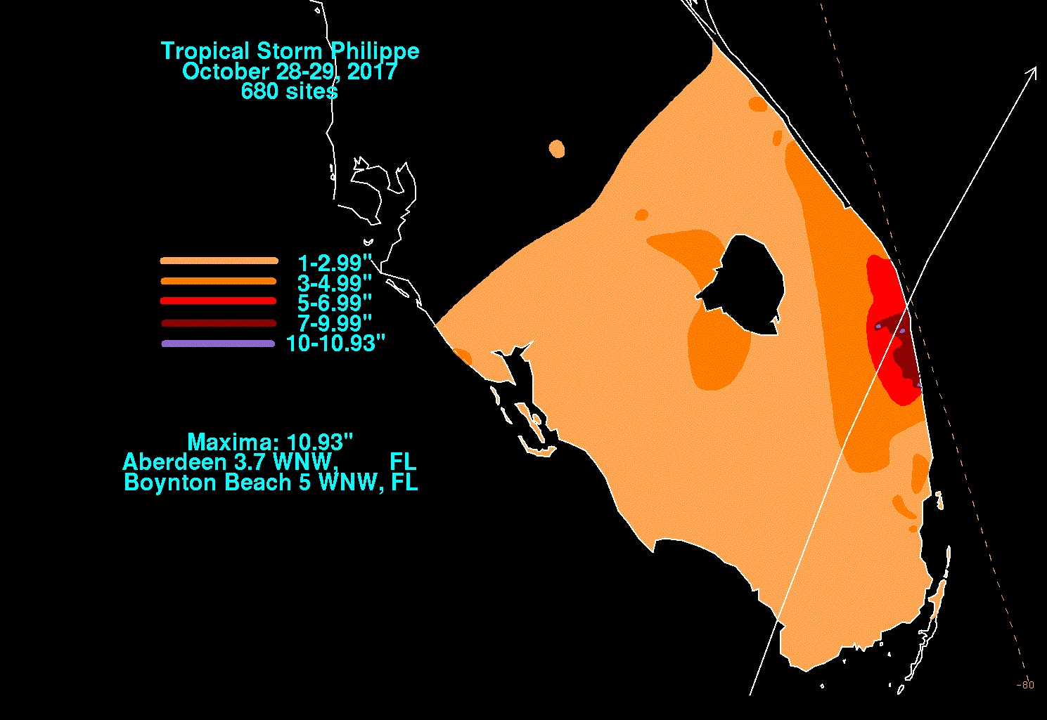
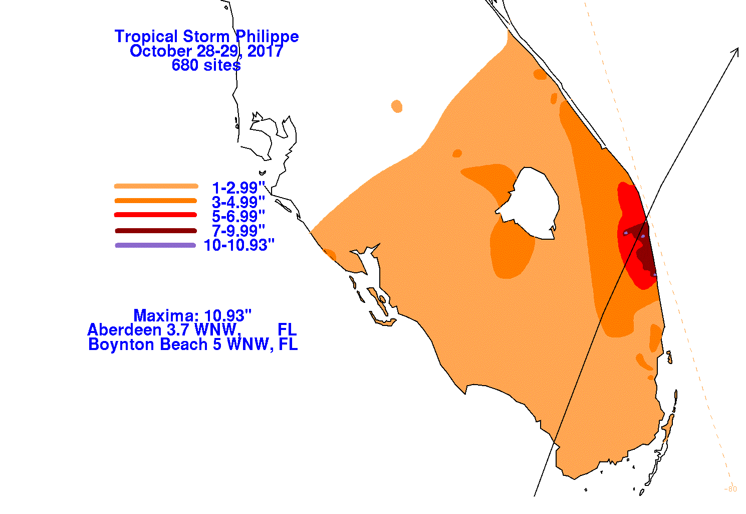
The graphics below show the storm total rainfall for Tropica Storm Philippe and its remnants, which used information
from the National Weather Service River Forecast Centers, Forecast Offices, and CoCoRAHS.
 |
 |
 |