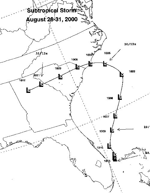
A tropical disturbance developed in the Bahamas on August 27th.
It soon developed into a
surface cyclone. Its tropical development was halted by a 500
hPa closed low that was
sinking southward through the Mid-Atlantic. This caused dry air
to wrap around the center,
forming a dry slot around its southern periphery. Development
continued until landfall was
made upon Cape Fear, NC on August 30th. Winds at Diamond Shoals
and Cape Lookout
were sustained at gale force as the tightly wound center made landfall.
It had a small core,
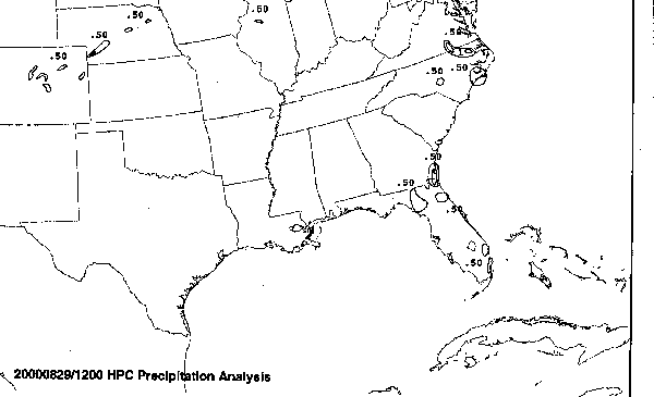
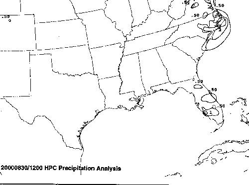
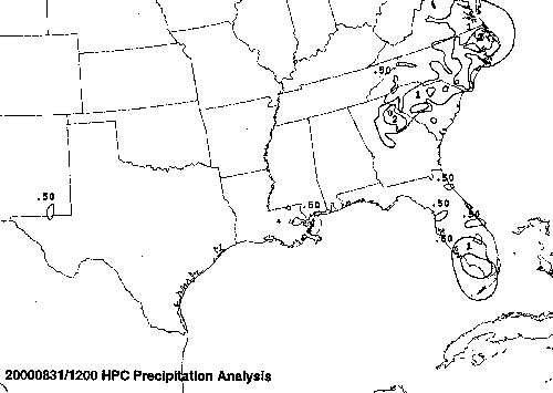
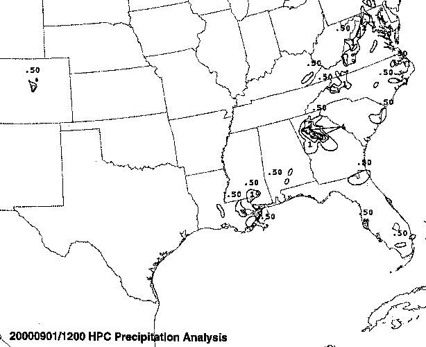
so rainfall was restricted to a swath from the Carolinas and Virginia
southwest into northern
Georgia, with smaller amounts noted in its inflow band which remained
fairly stationary in
Florida. It lost its closed circulation soon after 1200 GMT on
the 31st while passing Atlanta.
The track of the storm is located below, denoted every six hours, using
Universal Coorinated
Time. The time 1200 GMT is the same as 8:00 a.m. EDT.
Below is the calendar for Daily Precipitation Maps. Note that
the 24-hour periods end
at 12z that morning.