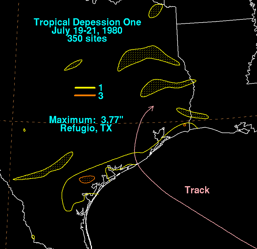
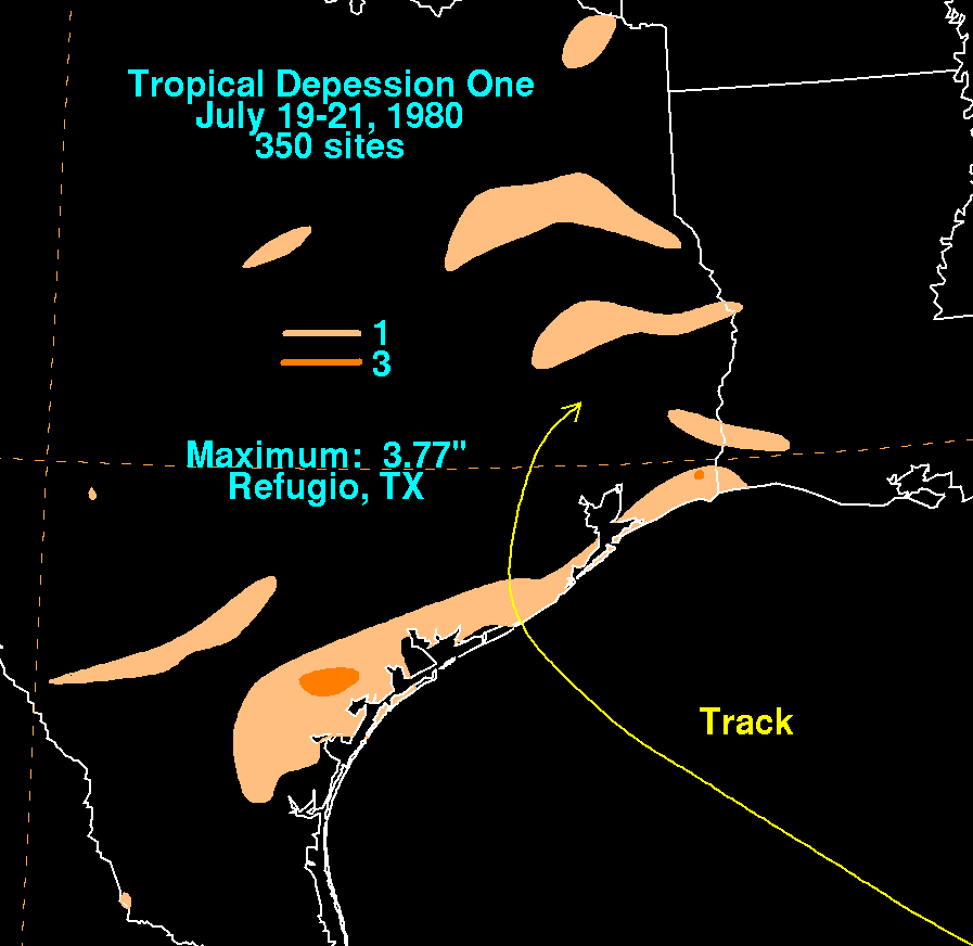
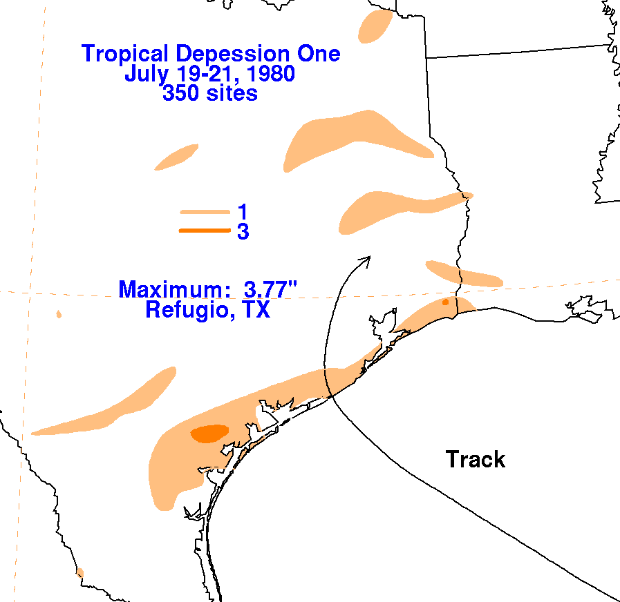
A dying cold front dropped down into the Gulf of Mexico on July 15th
and 16th. By the 17th, a low
pressure area formed in the central Gulf of Mexico, in a
divergent area northwest of an upper level low.
The small, weak tropical depression moved west to northwest into the
middle Texas coast, dissipating as
it recurved into southeast Texas on July 21st. Below are
the storm total rainfall maps for the depression,
using data
provided
by the National Climatic Data Center in Asheville, North Carolina.
 |
 |
 |