Thunderstorm activity along the Intertropical Convergence Zone
became concentrated south of the Gulf of
Tehantepec on May 19. The system moved westward, spreading light
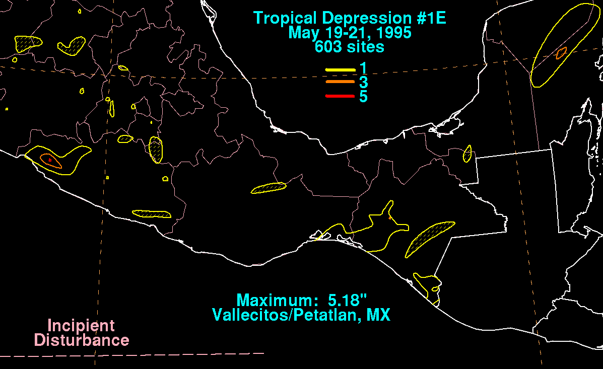
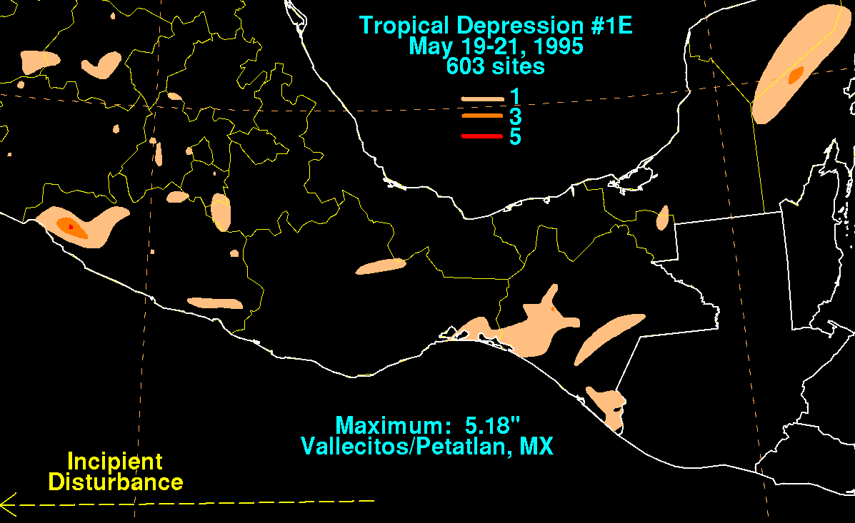
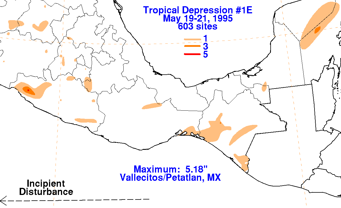
to moderate rains across southern Mexico
as it slowly organized. Early on the morning of the 21st, the
system became well-enough organized to be called
a tropical depression while south of Manzanillo. The system moved
westward, before deteriorating on the 22nd,
dissipating early on the morning of the 23rd. The storm total
rainfall maps below for this depression were
constructed using data
from the Comision Nacional del Agua, parent agency of Mexico's National
Weather Service.
 |
 |
 |