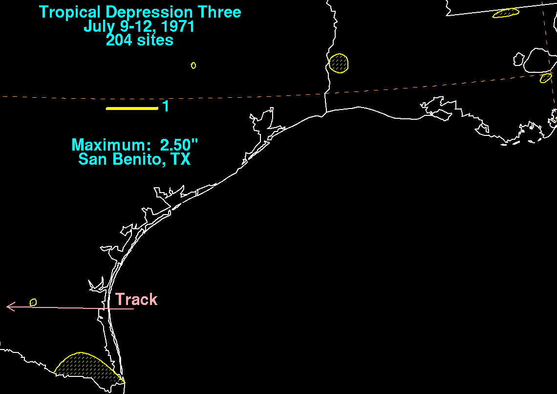
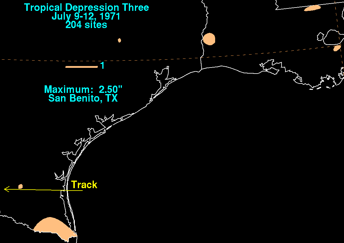
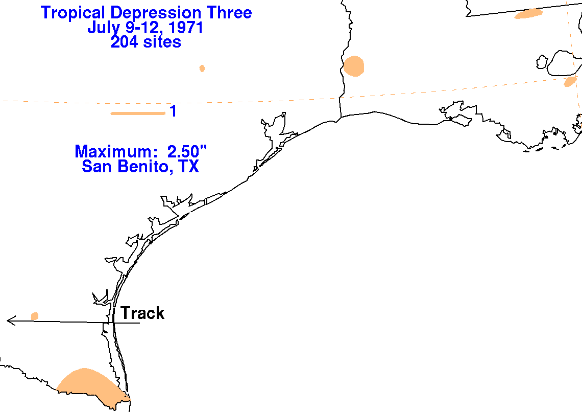
A surface low formed offshore the lower Texas coast and became a
tropical depression. The weak system moved
westward to the south of a subtropical ridge which spanned from the
southern Rockies through the Southeast,
moving ashore into Deep South Texas late on July 10, dissipating on the
11th before moving into northeast
Mexico. The graphics below
show the storm total rainfall for the tropical depression, with
data
provided
by the National Climatic Data Center in Asheville, North
Carolina. The heaviest amounts fell south of the
center across the lower Rio Grande valley.
 |
 |
 |