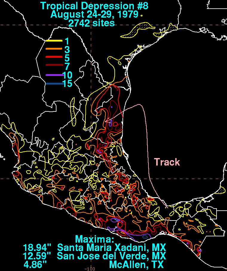
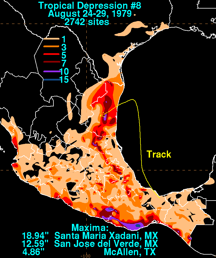
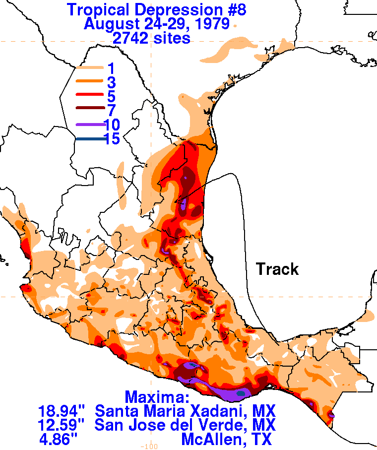
This was designated as the eighth tropical depression of the season
in real-time, and the eleventh tropical
depression in post-season analysis. A tropical disturbance formed
over the Isthmus of Tehuantepec late
on August 24th. By early on the 25th, the disturbance moved
into the Bay of Campeche, moving
northward.
Becoming well enough organized to become a tropical depression, it
headed northward towards
southern
Texas. By the afternoon of the 28th, a ridge of high pressure
blocked its northward motion,
steering the
depression west-southwest into northeast Mexico. Dissipating as a
tropical cyclone by the
morning of the 28th,
its cloud pattern retained integrity for an additional day and a half
before dissipating across
central Mexico on
the 29th. Below are the storm total rainfall maps for the
depression, using data
provided
by the National
Climatic Data Center in Asheville, North Carolina, and the Comision
Nacional del Agua,
parent agency of
Mexico's national weather service.
 |
 |
 |