A tropical wave entered the eastern Pacific on August 15th, spurring
the development of a surface low
south of Mexico on August 19th. The broad low pressure area
moved west to northwest offshore southwest
Mexico, bringing a large area of nearly tropical storm-force winds
offshore Mexico and rainfall to western
Mexico. By the 23rd, a well-defined center finally consolidated,
which in when the system became a tropical
depression. The depression initially paralleled the southern
coast of Baja California, as thunderstorm activity
slowly decreased due to cool sea surface temperatures. As the
thunderstorm activity became sparse around the
center, the surface low dropped southwest, as it was steered by the
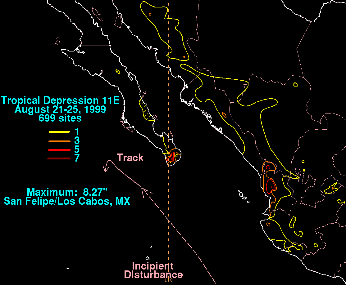
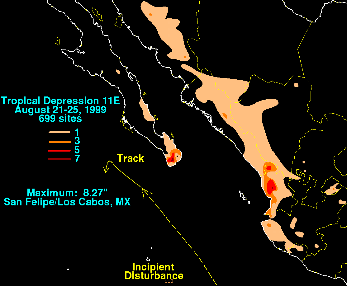
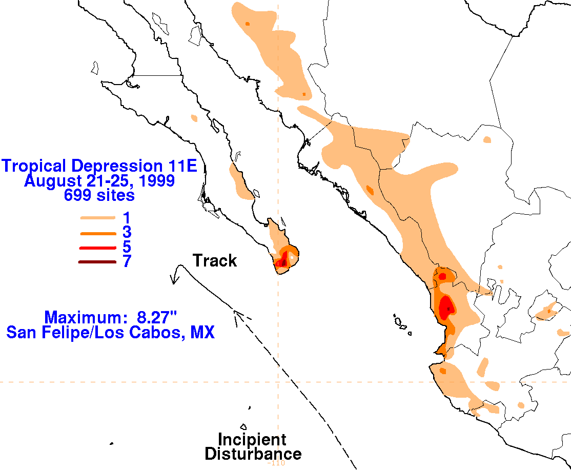
low-level wind field. The graphics below show
the storm total rainfall for Tropical Depression 11E.
Rainfall data was provided by the Comision Nacional
del Agua, the parent agency of
Mexico's National Weather Service.
 |
 |
 |