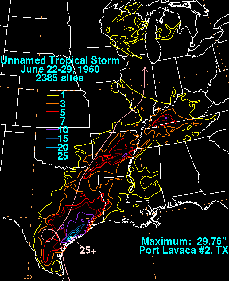
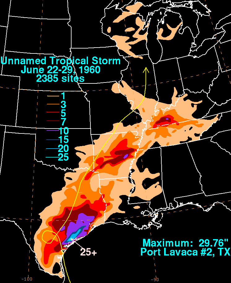
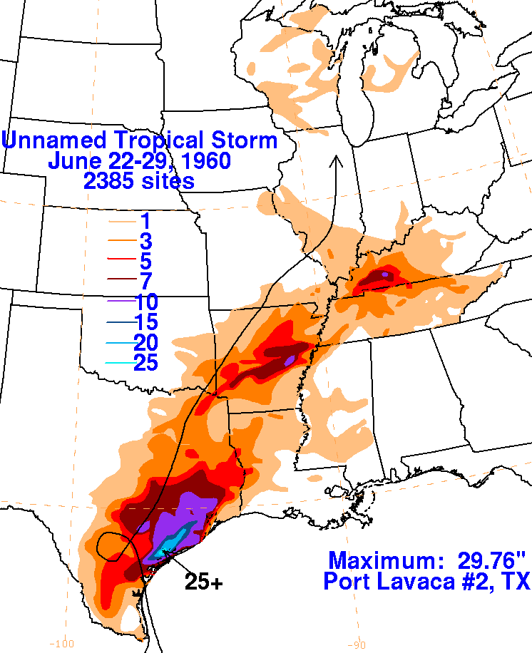
An area of thunderstorms formed in the southwest Gulf of Mexico on
June 22nd. The system slowly
developed as it moved north-northwest, and made landfall as a tropical
storm. Soon after moving
inland, the cyclone looped over South Texas, leading to heavy rains
along the coastal plain near
Port Lavaca. As it moved north-northeast, bursts of heavy
rainfall were accompanied with the
system over Arkansas and Kentucky. This system was originally
designated as a tropical low,
but was reclassified a tropical storm after the fact, based on winds
reported near its point of landfall.
The maximum seen in Kentucky not only represents their highest
tropical cyclone-related rainfall
amount on record, but also their all-time 24 hour precipitation record
(through 1998). The graphics
below use rainfall information from the
National Climatic Data Center in Asheville, North Carolina.
 |
 |
 |