Extended Forecast Discussion
NWS Weather Prediction Center College Park MD
331 PM EDT Fri Oct 9 2026

Valid 12Z Mon Oct 12 2026 - 12Z Fri Oct 16 2026


...Remnants of Rachel to increase heavy rainfall potential across
the Southwest and Intermountain West early next week...

...Record heat for the Southern Plains, Mid-South, and Southeast...


...Overview...

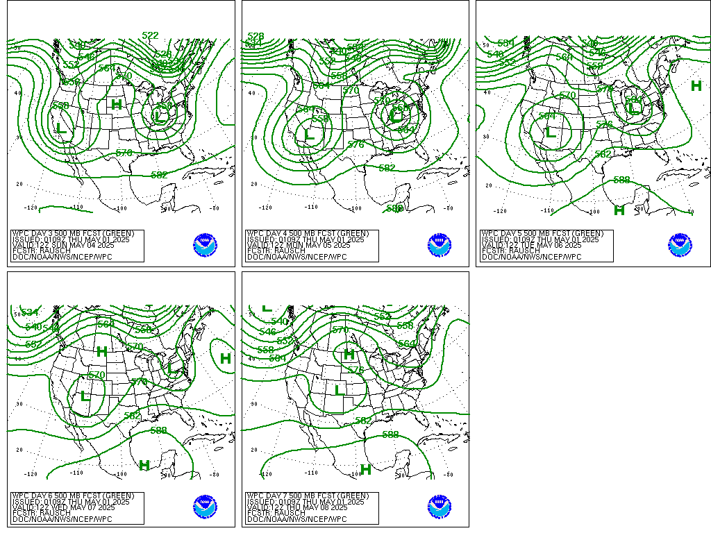
Upper troughing will move into the West early next week, which will
contain remnant moisture of Rachel and continue a flash flooding
threat particularly for Arizona and Utah. That system should
gradually lift into the Plains as the week progresses, with an
expanding area of rain over the central U.S. as moisture from ex-
Simon flows northward. Meanwhile, upper ridging into the south-
central to southeastern U.S. should allow for much above normal to
record-setting warm temperatures in the 90s early next week, slowly
moderating with time.


...Guidance/Predictability Assessment...

Model guidance shows reasonably good agreement early in the
forecast period with positively tilted troughing in the West,
though the positioning of embedded energies is more questionable
even early on. Namely the GFS and AI-GFS runs are particularly
farther southwest over California with an embedded upper low on
Monday while the EC, CMC, and AIFS are farther northeast. By
Tuesday the 12Z GFS jumps more toward the other guidance with an
upper low center near the CA/NV border, and over Utah on Wednesday,
but the AI-GFS seems like an outlier in lingering the low to the
southwest. So generally a blend of the 12Z guidance including the
GFS seems okay, excluding the AI-GFS and the 06Z GFS that was also
slow. This also works for the downstream upper ridge, an exiting
Mid-Atlantic shortwave Monday, and a Great Lakes to Northeast
trough Tuesday-Wednesday.

By later Wednesday into Friday, there is increasing spread on how
much that trough may linger in the West or eject northeastward,
which is related to shortwave energy/energies diving southeast from
the Pacific toward around southern California, and potentially
deep northern stream energy moving across western Canada that could
combine with it by Friday. Recent AI-GFS runs have been incredibly
strong with diving the northern stream energy farther south in the
Interior West compared to other guidance, which still seems like
an outlier. There is some variety among the other guidance too,
which affects surface lows in the Plains and southern Canada that
could interact/combine by next Friday. Generally increased the
ensemble mean guidance in the model blend quickly to half the blend
by Days 6-7 due to the increasing spread.


...Weather/Hazards Highlights...

Across the West, the remnants of Rachel combined with the incoming
upper trough will yield additional widespread modest to locally
heavy rainfall and localized flash flooding from the Southwest into
the Great Basin on Monday and Tuesday. See the Excessive Rainfall
Outlook for more information. Cold air surging behind the cold
front will lower snow levels, leading to accumulating snow over
higher elevations of the West. Snow should be winding down Monday
over the Northern Rockies, but minor impacts are possible from snow
in the Sierra Nevada Monday. This could be the first appreciable
snow for the Utah ranges. Snow is possible in portions of the
Northern/Central Rockies Tuesday-Wednesday and perhaps lingering
into Thursday.

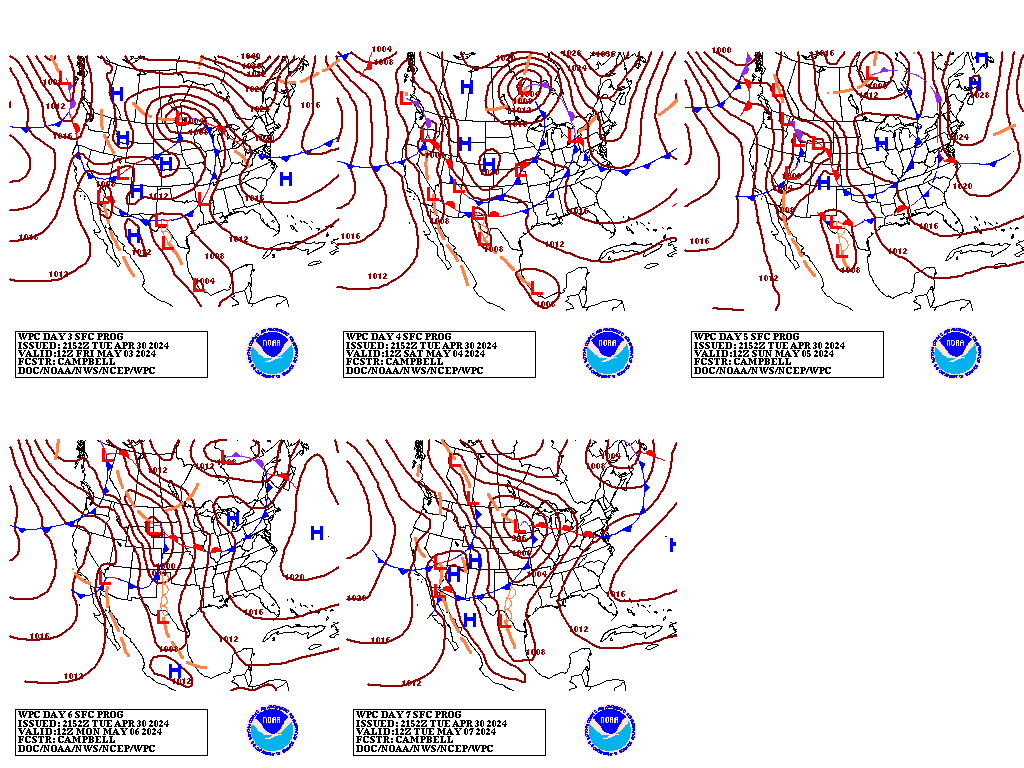
As the low pressure system lifts into the Northern Plains,
moisture from what is leftover from Simon may stream northward and
aid in producing a widespread area of rain in the central U.S.
Tuesday-Wednesday. Thunderstorms, including potential severe
weather, are likely in the Southern/Central Plains to Lower/Middle
Mississippi Valley ahead of the associated cold front, which could
linger into Thursday. Farther north, rain is likely to be more
progressive, spreading across the Northern Plains to Upper Midwest
on Wednesday and the Great Lakes/Ohio Valley/Northeast by Thursday.
The surface low strengthening in the Midwest/Great Lakes while a
cold surface high drops into the Rockies could lead to high winds
in the Dakotas and vicinity by Thursday and especially Friday.

Elsewhere, a round of rain is possible in the Upper Midwest/Great
Lakes to Northeast on Monday-Tuesday with a shortwave aloft and a
cold front.

Ahead of the front, temperatures in the southern Plains to the
Southeast will be well above normal and likely set new daily high
temperature records (upper 80s to the mid 90s). Low temperatures
may only fall into the 70s for several nights, with the combination
yielding widespread Moderate HeatRisk and perhaps reaching Major
over south Texas. The warmer temperatures in the 90s will gradually
cool back into the 80s as fronts approach. Meanwhile the upper
troughing in the West will bring broadly below average temperatures
there Monday-Tuesday, along with frost/freeze threats. Additional
chilly air may come into the Northern Rockies and vicinity late
week, with northwest flow aloft and surface high pressure.


Tate


Additional 3-7 Day Hazard information can be found on the WPC
medium range hazards outlook chart at:
https://www.wpc.ncep.noaa.gov/threats/threats.php

WPC medium range 500mb heights, surface systems, weather grids,
quantitative precipitation forecast, excessive rainfall outlook,
winter weather outlook probabilities, heat indices and Key Messages
are at:

https://www.wpc.ncep.noaa.gov/medr/5dayfcst500_wbg.gif
https://www.wpc.ncep.noaa.gov/medr/5dayfcst_wbg_conus.gif
https://www.wpc.ncep.noaa.gov/5km_grids/5km_gridsbody.html
https://www.wpc.ncep.noaa.gov/qpf/day4-7.shtml
https://www.wpc.ncep.noaa.gov/#page=ero
https://www.wpc.ncep.noaa.gov/wwd/pwpf_d47/pwpf_medr.php?day=4
https://www.wpc.ncep.noaa.gov/heat_index.shtml
https://www.wpc.ncep.noaa.gov/#page=ovw
 weather.gov