Short Range Forecast Discussion
NWS Weather Prediction Center College Park MD
208 AM EDT Thu Oct 15 2026

Valid 12Z Thu Oct 15 2026 - 12Z Sat Oct 17 2026

...Flash Flooding threat across portions of Texas into the Midwest, Ohio
Valley, and Mid-Atlantic on Thursday...

...Severe Thunderstorm threat across portions of the Mid-Mississippi
Valley into the Ohio Valley and Southern Plains for Thursday...

...Severe Thunderstorm threat across portions of the Mid-Atlantic for
Friday...

Unsettled weather pattern will persist across the central and eastern U.S.
as a frontal boundary stretches across the Mid-Atlantic into the Ohio
Valley and the Plains and associated shortwave disturbances influences the
region. As the surface low over the southern High Plains progresses
northeastward toward the Great Lakes, moisture will continue to stream
northward from the Gulf, which will support showers and thunderstorms
along the boundary. Strong low-level moisture transport ahead of the
advancing cold front will support repeated round of showers and
thunderstorms, with locally high rainfall rates. The combination of deep
moisture, frontal convergence, and upper-level forcing will favor
excessive rainfall and flash flooding, especially over areas receiving
multiple rounds of heavy rainfall. Furthermore, WPC highlights a Moderate
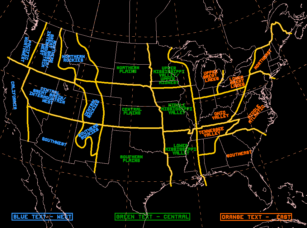
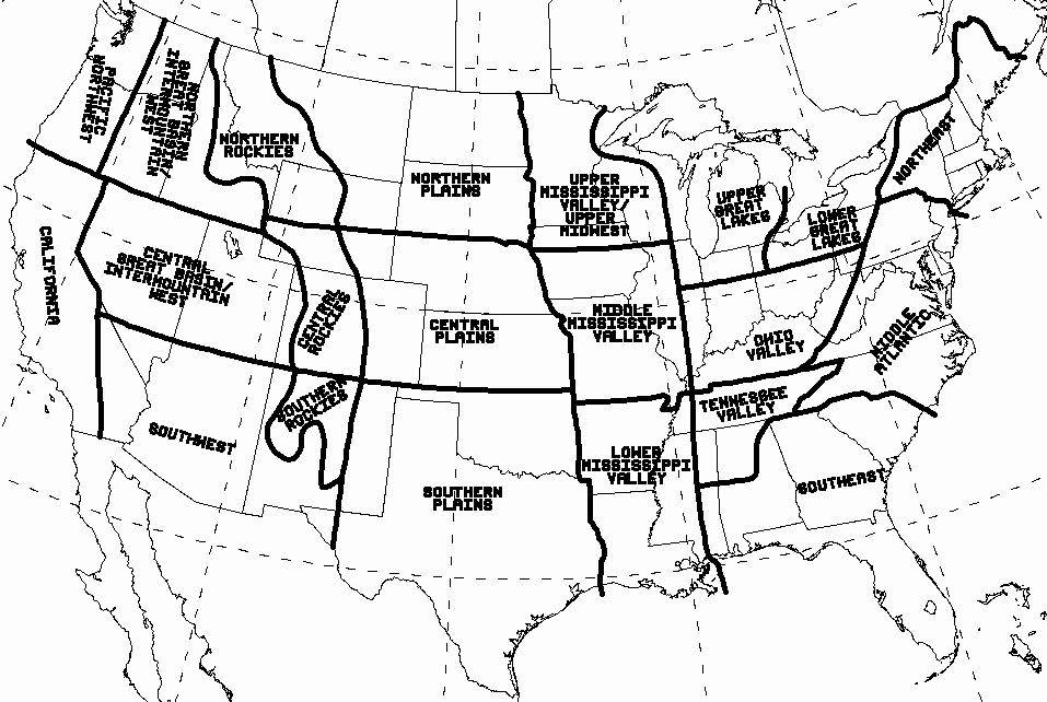
Risk of Excessive Rainfall across portions of west Texas for Thursday,
while a Slight Risk encompasses a wider area within Texas and a Marginal
Risk covers portions of the Midwest into the Ohio Valley and Mid-Atlantic.
Additionally, a few isolated severe thunderstorms capable of producing
damaging wind gusts, hail, and a brief tornado or two may be possible
across the Mid-Mississippi Valley, Ohio Valley/Great Lakes and Texas.

As the cold front and shortwaves advances northeastward, showers and
thunderstorms will progress into the Northeast and Mid-Atlantic by late
Thursday into Friday. Storm Prediction Center has issued a Severe
Thunderstorm risk for portions of the Mid-Atlantic for Friday as
instability and shear increases during the afternoon and evening hours. As
the primary surface low moves into southeastern Canada by late Friday, the
trailing cold front will head towards the Atlantic Coast and the southern
states. Therefore, lingering isolated showers and thunderstorms will
remain possible across portions of Florida and Mid-Atlantic/Northeast.
Meanwhile, an upper-level shortwave will maintain periods of showers over
portions of the Pacific Northwest as the cold front pushes inland by late
Friday into Saturday.

Temperatures will begin to undergo a notable transition over the next few
days. On Thursday, cool, below normal temperatures will spread
southeastward into much of central U.S., while 10-15 degrees above normal
highs continue across eastern U.S. On Friday, 15-20 degrees below normal
temperatures spread across the central U.S. into portions of eastern U.S.
with highs mostly in the 50s and 60s.

Oudit


Graphics available at
https://www.wpc.ncep.noaa.gov/basicwx/basicwx_ndfd.php
 weather.gov