WPC Home
About the WPC
WPC Product Information
Current Products
Experimental Products
Satellite Imagery
Latest Radar Imagery
Current Watches/Warnings
WPC Verification
Model Diagnostics/Verif.
Daily Weather Map
Research
International Desks
Tropical Products
What's New
FAQs
Other Sites
Changes to the North American Surface Analysis
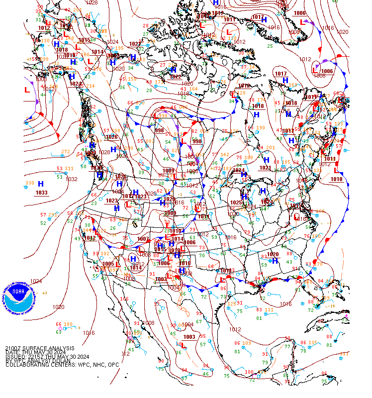 Click image to view at full size |
As of June 3, 2003, the National Weather Service's Weather Prediction Center (WPC) has modified the domain
of its North American surface analysis. Specifically, coverage over the Atlantic and Pacific Oceans has
been reduced. As a consequence, the analysis is available approximately 15-30 minutes earlier.
Details regarding the changes can be found by viewing the
Public Information Statement.
The previous, larger domain was defined at a time when the North American analysis was distributed by facsimile and only one chart could be sent for each analysis time and this chart needed to meet the needs of a wide variety of users. With the availability of several different surface analyses from different centers, WPC no longer needs to delay the data-rich North American analysis in order to prepare an analysis over a large section of the adjacent oceans. See surface analysis frequently asked questions for more information. |