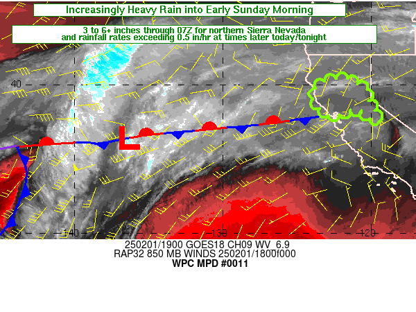
Mesoscale Precipitation Discussion 0011
NWS Weather Prediction Center College Park MD
350 AM EST Fri Jan 12 2024

Areas affected...Portions of the Lower MS Valley and Lower OH
Valley

Concerning...Heavy rainfall...Flash flooding possible

Valid 120850Z - 121450Z

SUMMARY...Heavy showers and thunderstorms with some concerns for
additional cell-training may result in pockets of flash flooding
through the early morning hours. The more urbanized locations and
areas that have already seen heavy rainfall overnight will be at
greatest risk of seeing these concerns.

DISCUSSION...The latest GOES-East WV suite shows a vigorous
upper-level trough advancing east across the central and southern
Plains with strong shortwave energy and a strengthening mid-level
jet core rounding the base of it and aiming for the Lower MS
Valley. This energy along with some subtle backing of the
low-level jet in conjunction with an area of low pressure lifting
northeast through the Arklatex has been allowing for the rapid
development and expansion of new bands of convection across areas
of northeast TX through central AR.

The latest RAP trends show an axis of strong low-level moisture
convergence coinciding with the corridor of cooling convective
tops, and this is also where there is a moderately buoyant airmass
characterized by MLCAPE values of 1000 to 1500+ J/kg. PWs continue
to increase with time given the persistent and enhanced
south-southwest low-level jet of 50 to 60+ kts transporting
moisture out of the western Gulf of Mexico. In fact, the latest
CIRA-LVT data for the SFC-850 mb layer shows LVT magnitudes
approaching and exceeding 250 kg/ms/s. Deeper layer IVT values
overall have risen substantially over the last 6 hours as the
upstream height falls/forcing continues to encroach on the region.

As strong upper-level jet dynamics and related DPVA interacts with
this corridor of stronger thermodynamics and enhanced moisture
transport over the next few hours, a much more organized
convective threat should emerge which will include concerns for
convection locally repeating/training over the same area or at
least impacting areas that saw heavy rain earlier in the night.

The 00Z HREF guidance overall may be a tad underdone with its QPF
potential early this morning given the enhanced levels of moisture
transport, increased instability and convective organization. The
potential will exist for some cells to produce rainfall rates of
as much as 2 inches/hour, and some additional storm totals of 3 to
4 inches cannot be ruled out where any cell-training occurs. Some
pockets of flash flooding will be possible, and especially where
the greater overlap of earlier rains and these additional rounds
of convection occurs.

Orrison

ATTN...WFO...ILX...IND...JAN...LMK...LSX...LZK...MEG...OHX...
PAH...SGF...

ATTN...RFC...ABRFC...LMRFC...NCRFC...OHRFC...NWC...

LAT...LON   38628775 38418674 37758661 36668738 35398866
            34358985 33949043 33629123 33559228 33859309
            34649339 35579267 37159076 38208902
Download in GIS format: Shapefile
| KML
Last Updated: 350 AM EST Fri Jan 12 2024
