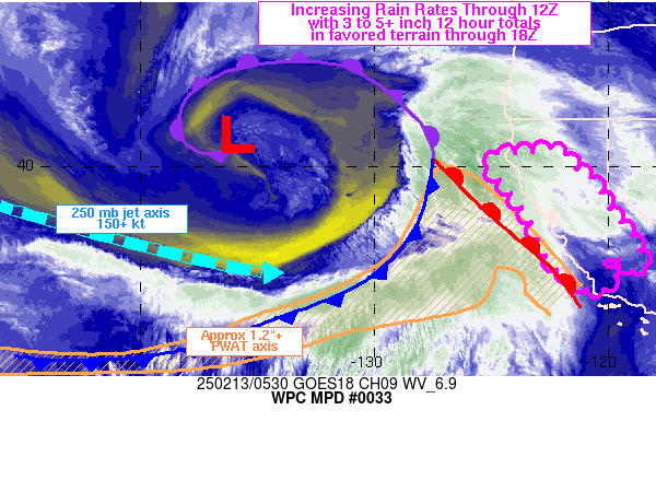
Mesoscale Precipitation Discussion 0033
NWS Weather Prediction Center College Park MD
1130 AM EST Thu Jan 25 2024

Areas affected...Central/Northeast MS...Central/Northern
AL...Northwest GA

Concerning...Heavy rainfall...Flash flooding possible

Valid 251630Z - 252130Z

SUMMARY...Some scattered instances of flash flooding will be
possible over the next several hours as new rounds of heavy
showers and thunderstorms cross over areas with very moist and
locally saturated soil conditions.

DISCUSSION...A rather well organized and concentrated area of
heavy showers and thunderstorms is currently advancing
east-northeast across central MS in association with a shortwave
trough and corresponding area of surface low pressure. Anomalously
warm and moist air continues to surge north ahead of this energy
and a warm front has been making steady progress off to the
northeast across the interior of the Gulf Coast states.

PW values have risen to as much as 1.5 to 1.75 inches with the aid
of a south-southwest low-level jet of 30 to 40+ kts, and these
values are running 2 to 3 standard deviations above normal.
Instability has been gradually increasing this morning across
central and eastern MS and through central AL with 3-hour MLCAPE
value of +200 to +400 J/kg. This instability is pooling along the
aforementioned warm front, and the front may become a more active
focus of separate clusters of convection over the next few hours
out ahead of the main wave of low pressure. Facilitating the
convective threat is also the presence of as much as 40 to 50 kts
of effective bulk shear.

Over the next few hours, given the expectation of an additional
destabilization of the boundary layer over eastern MS through
central and northern AL, and eventually northwest GA, the
convection gradually ejecting east from central MS should tend to
be sustainable and may attain somewhat greater levels or
organization.

Heavy rainfall rates are expected which may reach 1 to 1.5
inches/hours with the stronger convective cores. The cells are
rather progressive though, and this should at least tend to
mitigate the rainfall potential. The latest hires CAMs from the
12Z HREF are generally not handling the ongoing activity well at
all, but based on the latest observational trends, the expectation
is for additional rainfall totals going through mid to late
afternoon to be as much as 2 to 3 inches, and especially where any
repeating cell activity occurs.

Given the very moist and locally saturated soil conditions, these
additional rains may result in some runoff problems and scattered
instances of flash flooding.

Orrison

ATTN...WFO...BMX...FFC...HUN...JAN...MEG...MRX...OHX...

ATTN...RFC...LMRFC...SERFC...NWC...

LAT...LON   35098544 34858447 34208420 33648452 33218549
            32928698 32908865 33148965 33628982 34248931
            34768837 35088689
Download in GIS format: Shapefile
| KML
Last Updated: 1130 AM EST Thu Jan 25 2024
