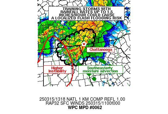
Mesoscale Precipitation Discussion 0062
NWS Weather Prediction Center College Park MD
429 PM EST Sun Feb 18 2024

Areas affected...northwestern and portions of central California

Concerning...Heavy rainfall...Flash flooding possible

Valid 182128Z - 190328Z

Summary...Increasing coverage of moderate to heavy rainfall is
expected across the discussion area through the afternoon and
early evening.  Areas of 0.5 inch/hr rain rates are expected,
potentially causing a few areas of excessive runoff.

Discussion...Water vapor and radar mosaic imagery indicates the
presence of a few areas of rainfall beginning to approach coastal
areas near/just south of Eureka as of 2110Z.  A separate area of
lighter rainfall was located near/west of San Francisco and
vicinity.  The rainfall was increasing in coverage and being
forced by difluence aloft and the slow approach of a larger upper
wave over the Pacific centered near 38, -134.  Additionally,
low-level wind fields were beginning to increase dramatically
along coastal areas in tandem with the approach/eastward
translation of a 50-kt 850 mb jet.  Rainfall rates were generally
light over the past hour (0.1-0.15 inch/hr), although the eastward
translation of the aforementioned synoptic features, increased
orographic ascent, and slow cooling aloft/mid-level
destabilization should result in rain rates increasing into the
0.25-0.5 inch/hr range - especially during the 00Z-03Z timeframe.

As rain rates increase in tandem with a more active convective
pattern, areas of excess runoff will become more likely.  The
greatest concern for flash flooding will reside generally from the
northern coastal ranges (from San Francisco Metro northward) and
windward slopes of the Klamath Mountains below the freezing level.
 Orientation of southeasterly 850mb flow relative to terrain in
these areas will likely support local enhancement of rain rates
and excessive runoff potential especially in low/sensitive spots.
The risk will likely extend beyond 0330Z, and an updated MPD may
be needed pending rainfall and convective trends around that time.

Cook

ATTN...WFO...EKA...MFR...MTR...REV...STO...

ATTN...RFC...CNRFC...NWC...

LAT...LON   41942291 41292112 39972087 38532119 37392211
            37832294 39932419 41402422
Download in GIS format: Shapefile
| KML
Last Updated: 429 PM EST Sun Feb 18 2024
