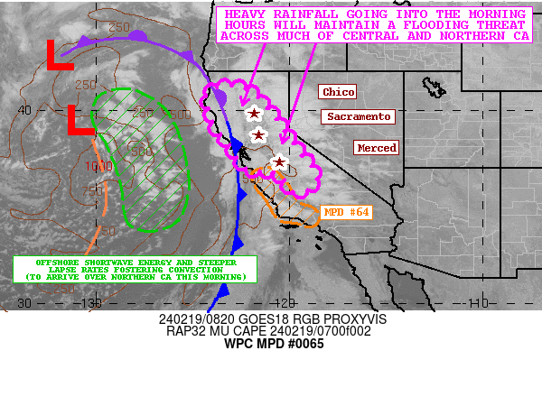
Mesoscale Precipitation Discussion 0065
NWS Weather Prediction Center College Park MD
446 PM EDT Sat Mar 15 2025

Areas affected...Eastern LA...Southeast MS...Southern AL....

Concerning...Heavy rainfall...Flash flooding possible

Valid 152045Z - 160230Z

SUMMARY...Lines of rotating cells are starting to congeal into a
more single line and starting to advance eastward.  Better
alignment of moisture and instability axis will retain moisture
flux to support up to 2"/hr rates; however, a more easterly
component may reduce some training and therefore flash flooding
will become more scattered in nature over higher FFG.

DISCUSSION...GOES-E WV suite depicts core of negative tilt
shortwave has swung through Arkansas into the middle MS valley,
this has resulted in low level veering and alignment of the
moisture and instability axis across E LA into S MS.  Currently,
merging cells across the best confluence in S MS is resulting in
higher than average rainfall rates (to other cells) due to
slightly backed flow downshear of surface low near BTR. Moisture
flux of 20-25kts of low 70s Tds and 2000-2500 J/kg of MLCAPE will
maintain strong updrafts and efficient low level moisture flux
convergence for rates of 2"/hr, perhaps as high as 2.5-3" for very
short periods when isallobaric flow increases with cycling of
updrafts/supercells.

Upper-level flow is starting to increase with overspreading of WSW
3H jet over 110kts, increasing easterly propagation component to
the convective line.  This will reduce training in the longer
period, so supercells will continue to remain efficient along the
line with streets of 2-3" totals possible.  Combined with the
generally higher FFG values across S MS/AL and E LA, flash
flooding should become more scattered/isolated in nature as the
line increases forward speed.  However, there are numerous prone
urban centers, particularly along I-10 that may be quickly
over-whelmed by 1-2" sub-hourly totals if directly impacted by the
leading broad downdrafts.  As such, flash flooding is considered
possible across the area of concern.  An additional MPD will be
issued subsequent to discuss higher likelihood flooding conditions
further north.

Gallina

ATTN...WFO...BMX...JAN...LIX...MOB...

ATTN...RFC...LMRFC...SERFC...NWC...

LAT...LON   33398592 32748566 31788611 31128717 30488834
            29839028 30519073 31999005 32718931 33318745
Download in GIS format: Shapefile
| KML
Last Updated: 446 PM EDT Sat Mar 15 2025
