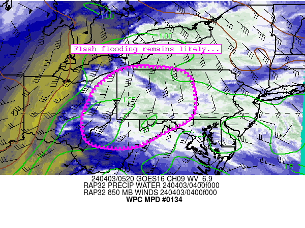
Mesoscale Precipitation Discussion 0134
NWS Weather Prediction Center College Park MD
330 AM EDT Sun Apr 06 2025

Areas affected...southeast LA and south-central MS into
north-central AL

Concerning...Heavy rainfall...Flash flooding likely

Valid 060730Z - 061330Z

Summary...Rainfall rates of 1-2"/hr will lead to localized totals
of 2-4". Scattered instances of flash flooding are likely.

Discussion...A QLCS is slowly traversing the Southeast this
morning, with the most intense convection located across much MS
and moving into AL. Rainfall rates have been as high as 1-2"/hr in
this area, and those rates are expected to continue with a
mesoscale environment characterized by ML CAPE of 500-2000 J/kg,
precipitable water values of 1.4-1.7 inches (near the max moving
average, per JAN sounding climatology), and deep layer (0-6 km)
shear of 50-60 kts.

A consensus of hi-res models suggests that short term (3-6 hour)
localized totals of 2-4" can be expected, which is likely to at
least locally continue to eclipse associated Flash Flood Guidance
(FFG) of 2.5-3.0". While the line of convection is relatively slow
to move eastward, thankfully it continues to gradually move into
areas of MS/AL that are much drier are capable of handling heavy
rainfall. Scattered (to possibly numerous) instances of flash
flooding are considered likely.

Churchill

ATTN...WFO...BMX...FFC...HUN...JAN...LIX...MEG...MOB...

ATTN...RFC...LMRFC...SERFC...NWC...

LAT...LON   34928531 34518496 33808559 32978664 32128740
            31338814 30128945 29759009 29979071 30449143
            31119156 32279055 33708896 34578737 34898632
Download in GIS format: Shapefile
| KML
Last Updated: 331 AM EDT Sun Apr 06 2025
