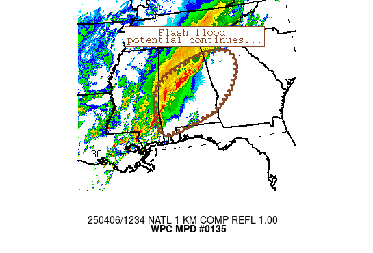
Mesoscale Precipitation Discussion 0135
NWS Weather Prediction Center College Park MD
300 PM EDT Wed Apr 03 2024

Areas affected...portions of northern VA into Washington DC, MD,
DE, southeast PA, and NJ

Concerning...Heavy rainfall...Flash flooding possible

Valid 031900Z - 040000Z

Summary...Localized rainfall rates up to 1"/hr may lead to
isolated instances of flash flooding through the evening.

Discussion...A surface low will track northeastward across
northern Mid-Atlantic this evening, with localized rainfall rates
up to 1"/hr possible with the strongest convection. While not
particularly intense, these rates may overwhelm localities that
have already seen up to an inch or so of rain over the past 24
hours. Saturated soils and lowered capacity to handle runoff could
particularly lead to more impacts in the populated I-95 corridor
from Washington D.C. to Newark (where FFGs are as low as a quarter
to a half inch per hour).

While instability is the main limiting factor preventing more
intense convection, there may still be a thunderstorm or two (most
likely near the Delmarva Peninsula, where MU CAPE is >500 J/kg)
that manages to form. Elsewhere across the outlook area,
precipitable water values of 1.0-1.4 inches (above the 90th
percentile per SPC sounding climatology) combined with ample large
scale moisture transport and warm air advection from the northward
expanding warm sector will fuel heavy showers with briefly high
rainfall rates that could lead to some instances of nuisance level
flooding.

Churchill

ATTN...WFO...AKQ...BGM...CTP...LWX...OKX...PHI...

ATTN...RFC...MARFC...NERFC...NWC...

LAT...LON   41337470 41307443 41107402 40857404 40707412
            39977396 38807459 37627561 37587683 38117733
            38997696 39787636 41007519
Download in GIS format: Shapefile
| KML
Last Updated: 259 PM EDT Wed Apr 03 2024
