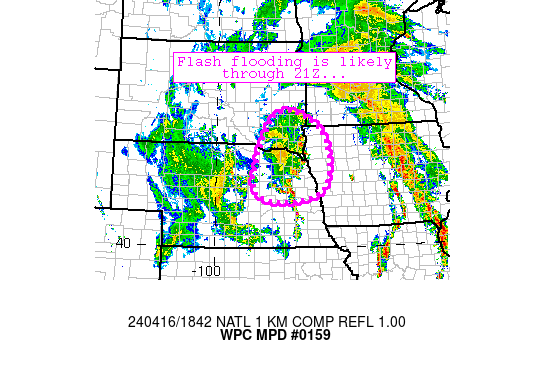
Mesoscale Precipitation Discussion 159
NWS Weather Prediction Center College Park MD
1027 PM EDT Tue Apr 22 2025

Areas affected...Northwest TX...Western OK

Concerning...Heavy rainfall...Flash flooding possible

Valid 230227Z - 230700Z

SUMMARY...Slow moving thunderstorms are expected to persist over
southern portions of the Texas Panhandle and extending to
west-central Oklahoma through 7Z tonight. Cell mergers and cell
training may lead to some instances of flooding.

DISCUSSION...Regional Doppler radars continue to indicate both
supercells and multi-cell clusters that have had a history of
heavy rainfall over the past few hours that have developed ahead
of the dry line. In addition, GOES-16 infrared satellite imagery
shows expanding cold anvil canopies with the convective complexes,
especially so with the MCS over the southern Texas Panhandle where
the flash flood threat is greatest over the next several hours.
Rainfall rates with the strongest and most persistent convection
will likely exceed two inches per hour at times, increasing the
threat of flash flooding in those areas.

The latest CAM guidance suite is likely a little undergone with
forecast QPF totals through 7Z, although the FV3 is on the higher
end of the guidance. There will likely be some 2-4 inch totals on
a localized basis, with much of this falling in a two hour time
period for any given location. This activity is expected to
gradually become more progressive as the MCS matures and moves
eastward.

Hamrick

ATTN...WFO...AMA...DDC...LUB...MAF...OUN...SJT...

ATTN...RFC...ABRFC...WGRFC...NWC...

LAT...LON   37149929 36899837 36109799 35009821 34109857
            33529909 33009981 32590098 32530215 32840277
            33240300 33900300 34420263 35010172 35740079
            36660004
Download in GIS format: Shapefile
| KML
Last Updated: 1027 PM EDT Tue Apr 22 2025
