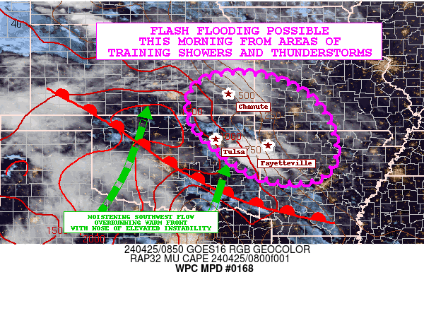
Mesoscale Precipitation Discussion 0168
NWS Weather Prediction Center College Park MD
613 AM EDT Thu Apr 24 2025

Areas affected...northwestern to west-central TX

Concerning...Heavy rainfall...Flash flooding possible

Valid 241011Z - 241500Z

Summary...Rainfall rates of 1 to 2 in/hr (locally higher) within
areas of training could produce localized flash flooding from 2-4
inches of rain through 15Z over northwestern to west-central TX.

Discussion...The merging of two convective clusters across
northwest/west-central TX may lead to localized flash flooding
over the next 3-5 hours. Regional radar imagery at 0945Z showed a
largely forward propagating linear convective line from
west-central OK into west-central TX north of SWW. A second
(smaller and weaker) convective line was observed to the south,
over west-central TX from DYS to BBD. The western-most edges of
both convective lines were in the process of merging just north of
I-20 in the vicinity of DYS. 850 mb VAD winds showed 30 to 40 kt
from the south at KSJT and KDYX, overrunning the outflow
associated with the stronger, northern convective cluster with
recent slowing along its western end.

Mean steering flow was from the SSW to SW at 15-20 kt, and of
similar orientation to the 850 mb flow across northwestern to
west-central TX, allowing for short-term training. Expectations
are for the northern complex to continue advancing toward the
southeast, following short term Corfidi vector forecasts. The
orientation of the two systems is expected to evolve like a
zipper, with merging of the two outflows advancing a burst of
convection from west to east. Merging and short term training will
likely support rainfall rates of 1 to 2 in/hr (locally higher) and
short term rainfall totals of 2-4 inches through 15Z and these
rains may produce localized flash flooding. While an expected
weakening of the low level jet through the remainder of the
morning hours may allow for an overall weakening, modest
diffluence aloft and lingering instability of ~1000 J/kg may allow
for convective maintenance for at least another 2-4 hours.

Otto

ATTN...WFO...FWD...LUB...OUN...SJT...

ATTN...RFC...ABRFC...WGRFC...NWC...

LAT...LON   33669858 33569779 33199732 32749713 32309745
            32119815 32109919 32390041 33030060 33409993
Download in GIS format: Shapefile
| KML
Last Updated: 613 AM EDT Thu Apr 24 2025
