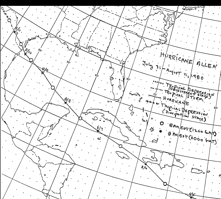
A tropical disturbance moved off the African coast on July 30th. By the 1st, two competing surface
circulations merged, and a tropical depression formed. By the morning of the 2nd, the system strengthened
into a tropical storm, and then rapidly into a hurricane by that evening. The storm was already a category
3 hurricane when it passed just north of Barbados on the 4th. Continuing its rapid west-northwest clip,
the pressure fell rapidly to 911 hPa south of Puerto Rico, strengthening into a category 5 hurricane.
 |
 |
 |
The center barely missed the Haitian coast on the 6th, turning slightly more to the west before striking land.
Moving over the northwest Caribbean, the low deepened to 899 hPa...then a record for a hurricane in the
Caribbean Sea. The storm weakened as its large circulation interacted with the Yucatan Peninsula, before
it restrengthened in the central Gulf of Mexico when the pressure fell to 909 hPa...again a category 5
hurricane on the night of the 8th. A high pressure ridge across the South weakened, allowing the
hurricane to slow down its rapid motion as it approached Texas. It then moved inland in Deep South
Texas on the 10th, weakening into a tropical storm and then a tropical depression as it moved across
northern Mexico and the Big Bend of Texas. Below is the track of this cyclone, provided by the
National Hurricane Center.
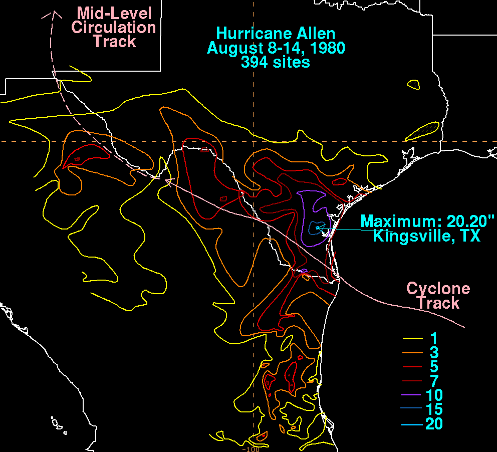
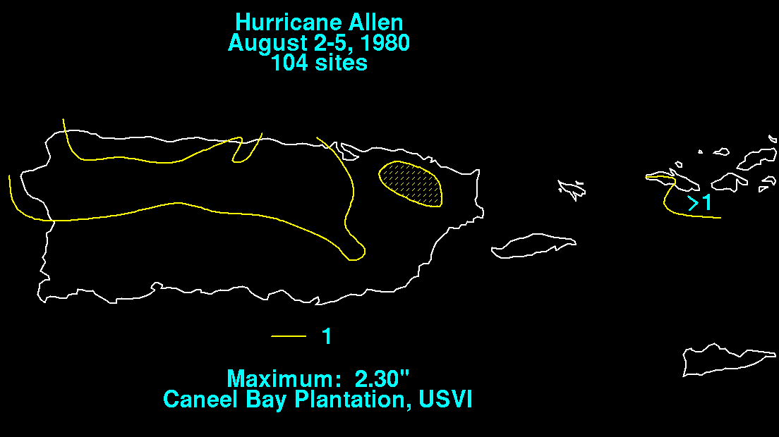
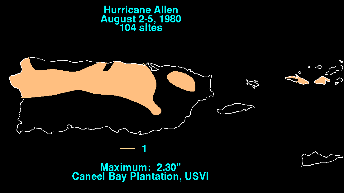
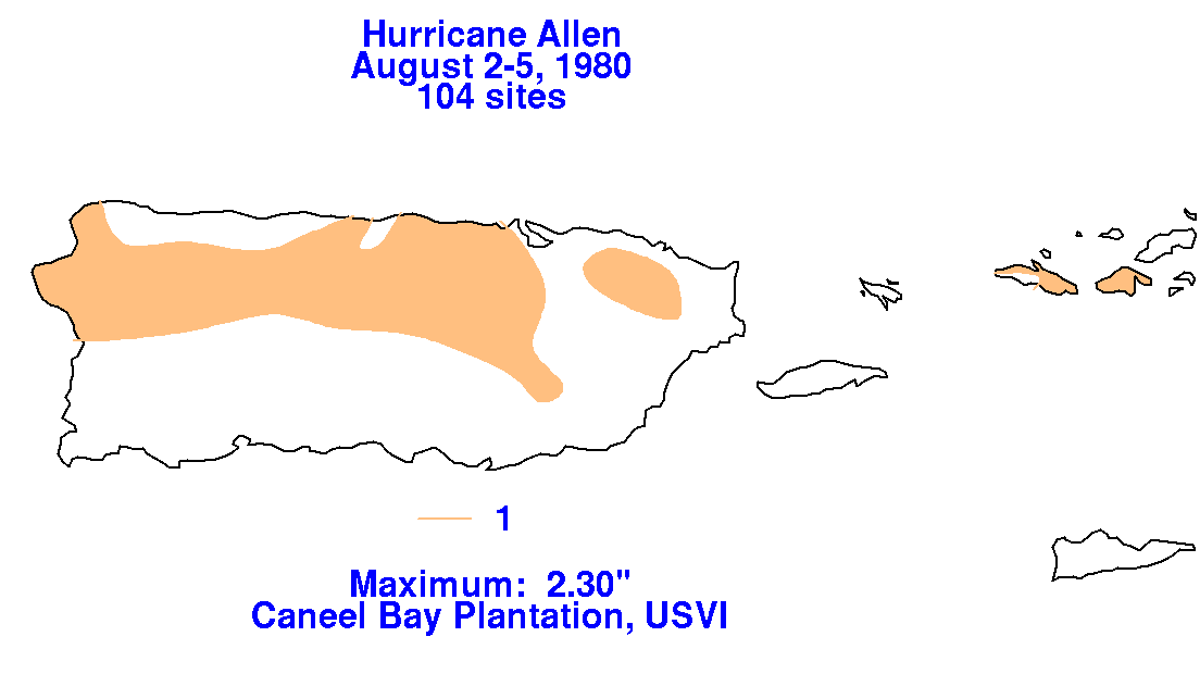
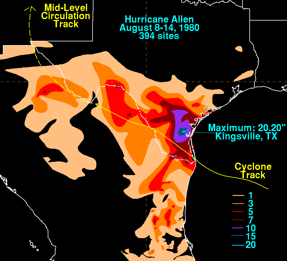
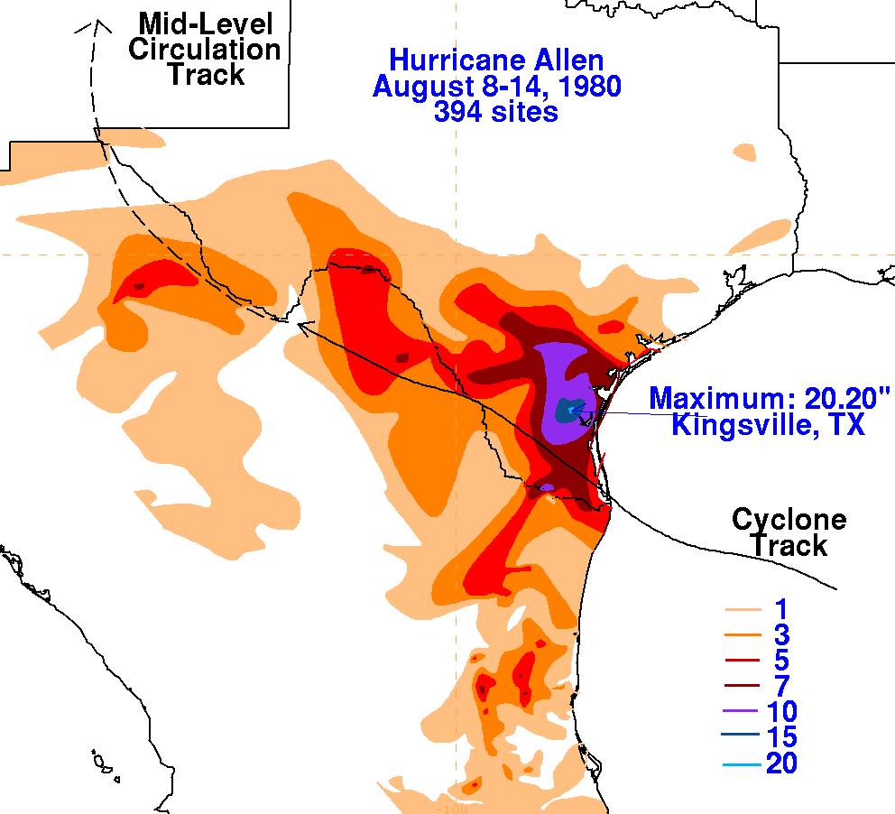
On the graphics below are the storm total rainfall for Allen.
Data was provided by the National Climatic Data Center
in Asheville, North Carolina and by the Comision del Agua, parent
agency of the
Mexican National Weather Service.
Note the maximum across South Texas, mainly along and to the
right of
the cyclone's track.
 |
 |
