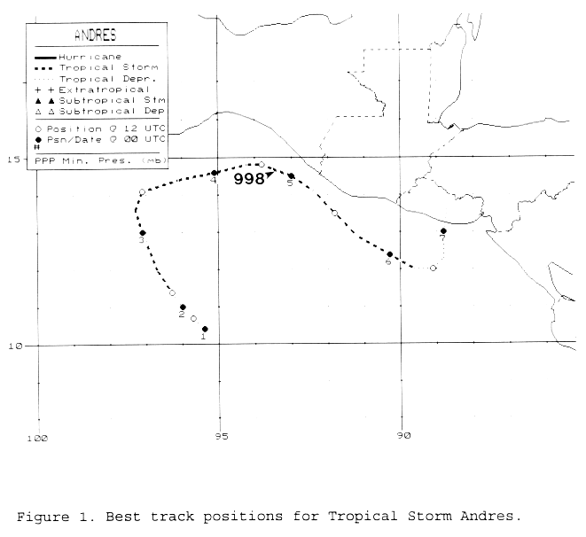
The main belt of the Westerlies extended southward into the deep tropics for most of May. Towards the
end of the month, the Westerlies briefly lifted northward, and a surface circulation developed south of
southeast Mexico on May 30th, possibly due to a tropical wave which emerged off the African coast
on May 14th. Deep convection became concentrated near its center on the 31st, and it became a tropical
depression that evening. Initially, Andres drifted northwest as it became a tropical storm, which forced
recurvature just shy of Mexico as it neared the Westerlies, and a weak cold front approached from the north.
The system turned east-northeast between the 3rd and 5th, before turning southeast thereafter as the flow
aloft became more northwesterly. The northwest winds aloft caused vertical wind shear, which weakened
the cyclone. On the 6th, Andres drifted north as a tropical depression, dissipating as it reached the coast of
El Salvador late that day. Below is its track, supplied by the National Hurricane Center.
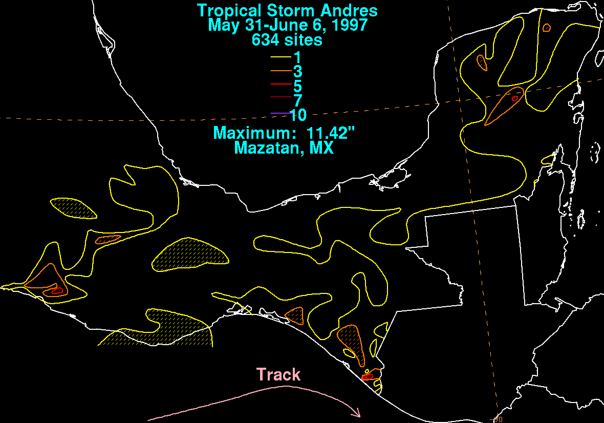
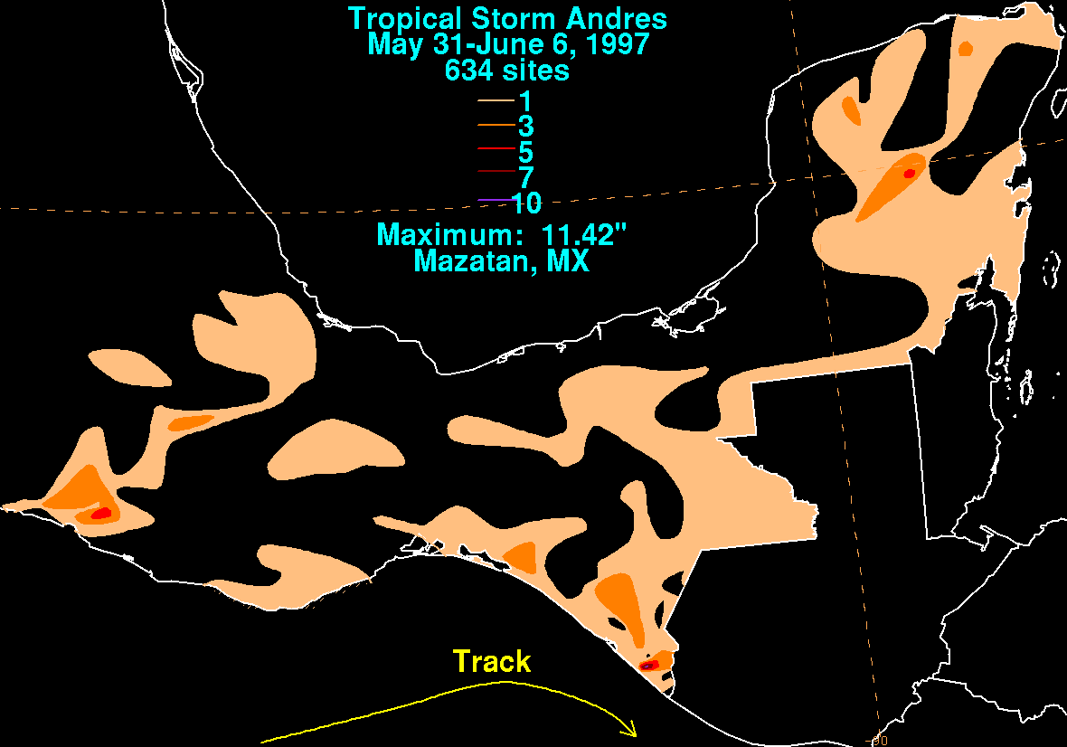
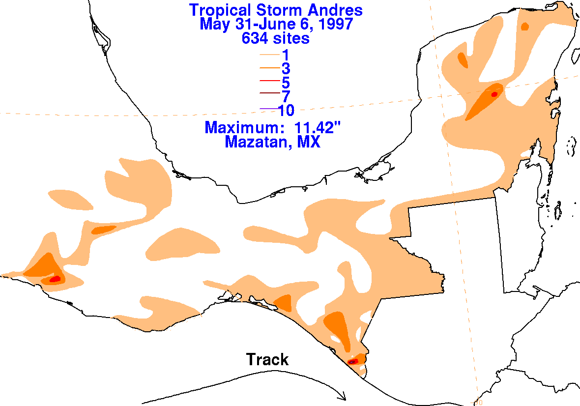
The graphics below show the storm total rainfall for Andres, which used information from the Comision del
Agua, which contains Mexico's National Weather Service.
 |
 |
 |