A mid to upper level low formed over the Bay of Campeche on the
16th.
At the same time, a tropical
wave approached from the east. Convection in the western
Caribbean,
active since the 9th, expanded
west-northwest. Late that day, a low pressure area formed over the
Yucatan peninsula. By the night of
the 17th, convective organization increased in the southern Gulf of
Mexico, and the low became a tropical
depression. It moved northwest between the upper low, now to
its southwest, and a warm core high to
the northeast. By the 18th, southwest flow from both the upper
low to the southwest and the outflow
from Tropical Storm Beatriz in the eastern Pacific kept the cyclone
weak. On the 19th, a convective band
tried to wrap around the north and east side of the center. On the
northwest edge of the band, a new
circulation formed which quickly became the dominant center, and it
was strong enough to be upgraded
to a tropical storm.
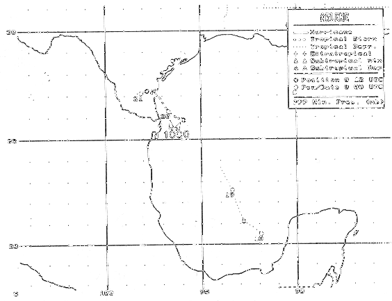
It continued its slow march to the west-northwest, making landfall
across
Padre Island about 40 miles
south of Corpus Christi early on the morning of the 20th. The
weakening cyclone moved slowly over the
lower Rio Grande Valley of Deep South Texas and northeast Mexico.
Below is the track of this storm,
provided by the National Hurricane Center.
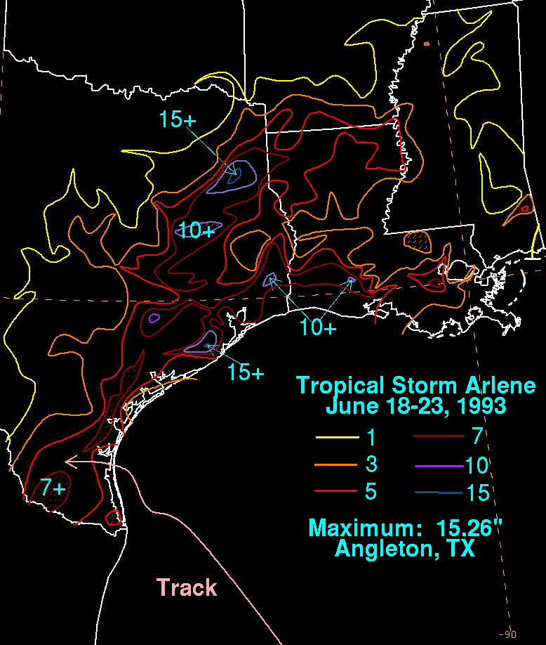
The storm total rainfall map below was constructed using data from
the
National Climatic Data Center.
 |
 |
 |
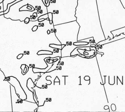
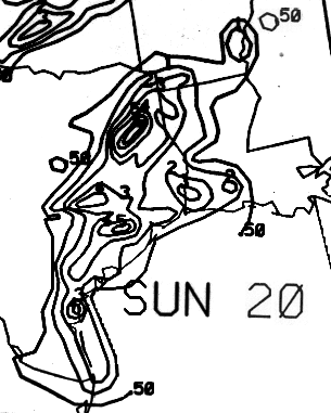
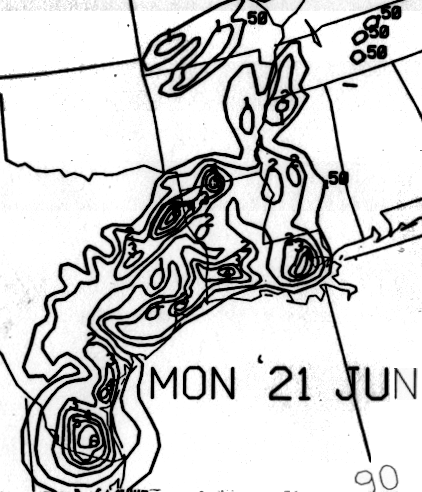
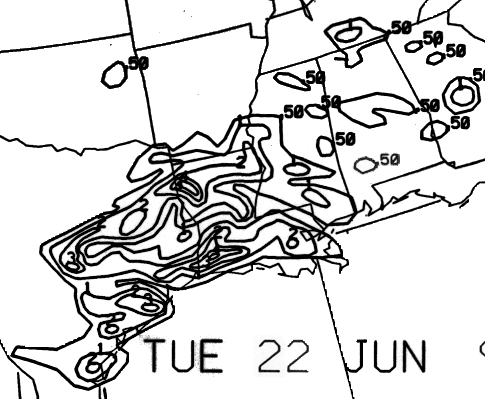
Below are the calendar for Daily Precipitation Maps. Note that
the 24-hour periods end
at 12z that morning.