Hurricane Audrey - June 26-29, 1957
An easterly wave entered the western Caribbean on June 11th. The wave moved slowly west-northwest,
clearing the western Caribbean on the 15th and moved through the Bay of Campeche on the 22nd and
23rd. A well-defined tropical storm quickly formed in the Bay of Campeche on the 24th. Strong outflow
combined with sea surface temperatures 2-3 degrees Fahrenheit above normal led to significant development
of the system. Hurricane status was achieved late on the 24th. Audrey moved northward, slowly strengthening
until the 26th. At that time, a strong upper level trough led to its acceleration and the hurricane deepened rapidly
on its final approach to the Texas/Louisiana border. Audrey became the strongest hurricane on record for the
month of June upon landfall, as it reached category four strength. Its acceleration was unanticipated, and despite
hurricane warnings in place, 418 people perished in the storm, mainly across southwest Louisiana.
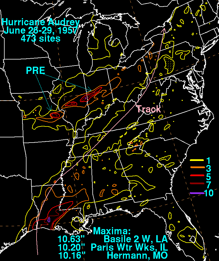
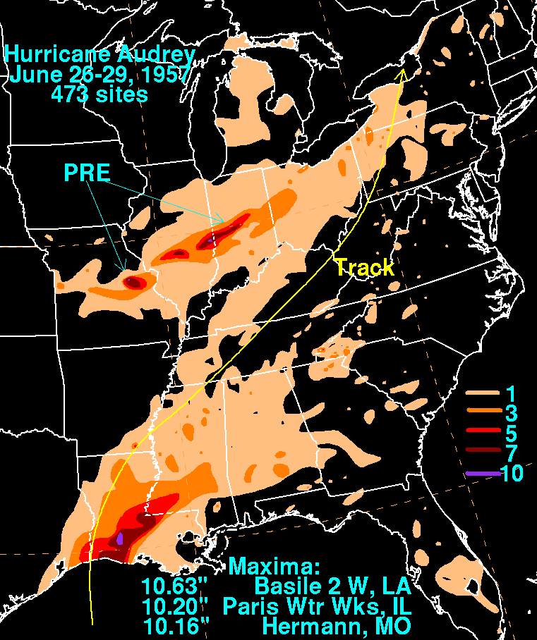
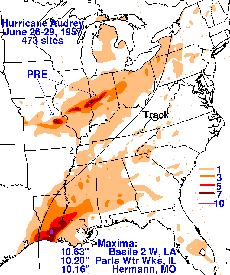
Heavy rains fell across the Atchafalaya Basin before tapering off farther inland due to the system moving into an
environment of strong vertical wind shear which led to its extratropical transition. However, an approaching frontal
zone intercepted moisture from Audrey across the Midwest, which led to excessive rainfall across central Missouri,
central Illinois, and central Indiana. The storm total rainfall maps below were constructed using data from data archived
at the National Climatic Data Center in Asheville, North Carolina.