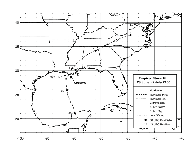
Tropical
storm Bill formed over the southern Gulf of Mexico on June 29th.
It moved northward
and made landfall in southeast Louisiana with maximum sustained winds
of 60 mph late on the
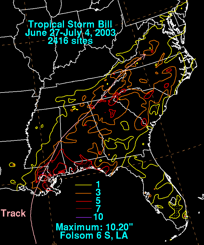
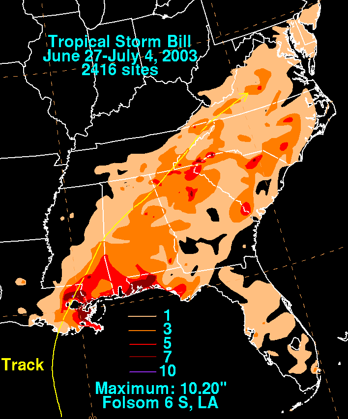
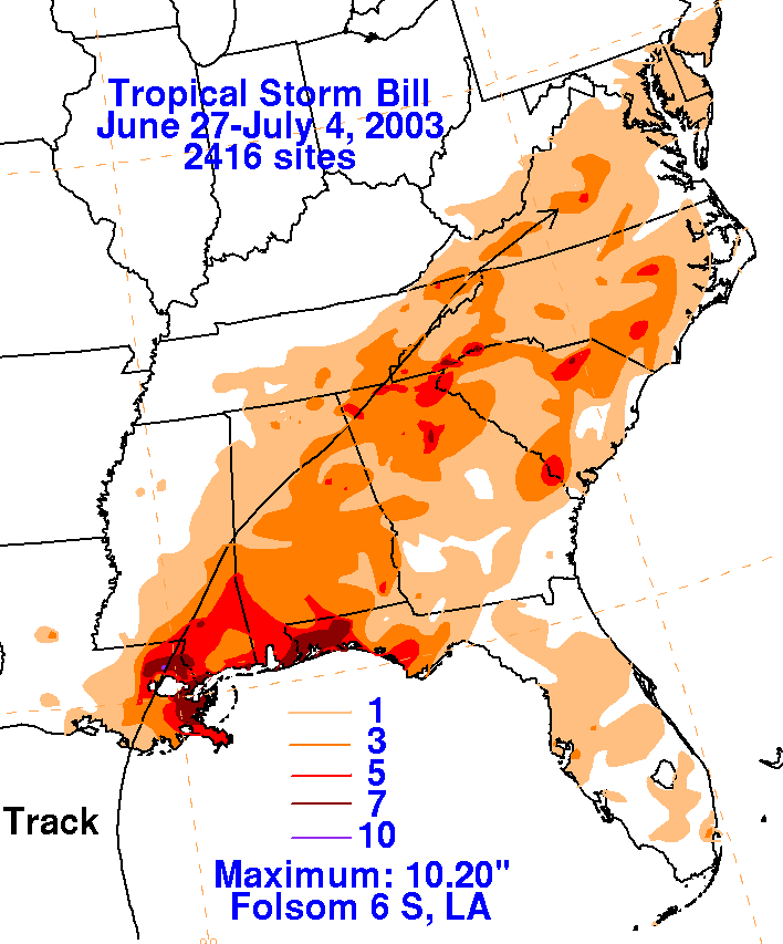
30th. Bill produced five confirmed tornadoes, coastal flooding,
and heavy rain. One of the tornadoes
struck Reserve, Louisiana damaging 20 mobile homes injuring four
people. Bill moved across central
Alabama as a weakening tropical depression before moving northeast
across the Appalachians
of Georgia, Tennessee, North Carolina, and Virginia. It
eventually became absorbed by a frontal
system over west-central Virginia early on the 3rd. Bill produced
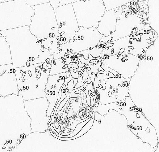
locally heavy rainfall and flooding
over much of the Southeast U.S. and was responsible for four deaths and
$30 million in damage.
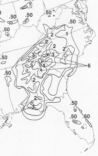
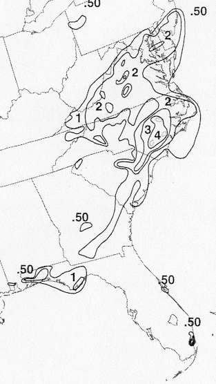
The map below shows the track of Bill.
The storm total rainfall map below was constructed using data from
data
provided from the River Forecast Centers,
as well as the Wakefield and Raleigh Durham WFO's.
 |
 |
 |
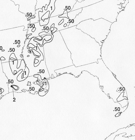
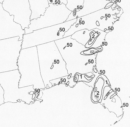
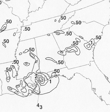
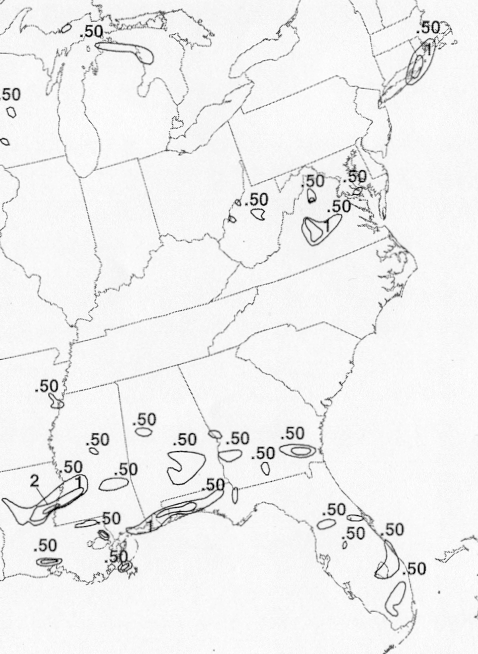
Below are the calendar for Daily Precipitation Maps. Note that
the 24-hour periods end
at 12z that morning.