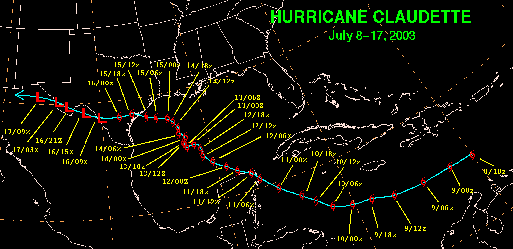
Hurricane Claudette developed from a tropical wave over the central
Caribbean Sea on July 8th. The
tropical wave that Claudette developed from produced gusty winds and
locally heavy rains over St.
Lucia, where minor damage was reported. The storm moved westward
until the 10th before moving
northwest across the northwestern Caribbean Sea, bringing the center
across the northeast Yucatan
peninsula on the 11th. Claudette became a hurricane briefly on
the 10th. Its motion became erratic
across the central Gulf of Mexico on the 13th before it turned
north-northwest on the 14th due to
southwesterly upper level winds. A building warm core ridge to
its northwest forced a more westerly
motion on the 15th as it regained hurricane strength. This motion
brought the center to Port O'Connor,
Texas on the 15th as a strong category one hurricane. The cyclone
tracked quickly across southern
Texas into northeast Mexico before moving across the southern Big Bend
of Texas while dissipating on
the 17th. Three deaths were associated with Claudette.
Below lies its track.
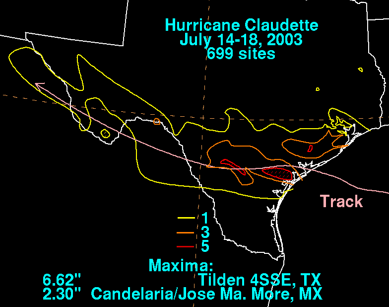
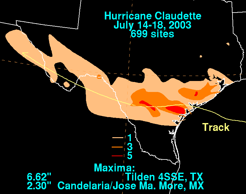
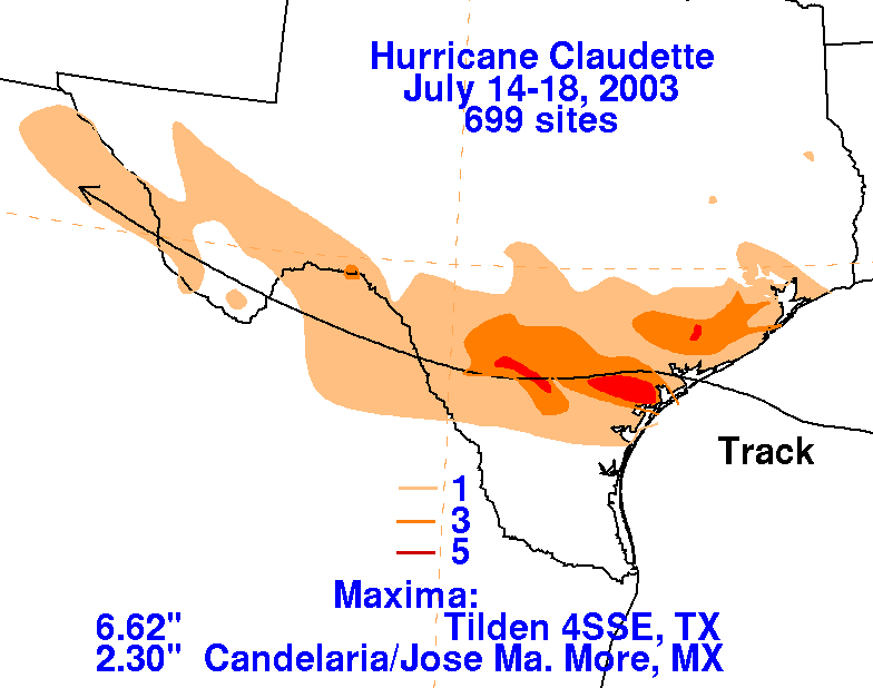
The storm total rainfall map below was constructed using data from
data
provided from the River Forecast Centers,
as well as the Houston/Galveston, Corpus Christi, New Braunfels, and
Midland WFOs. Maximum amounts of 5-6
inches were reported just to the left of the track of this small
hurricane.
 |
 |
 |
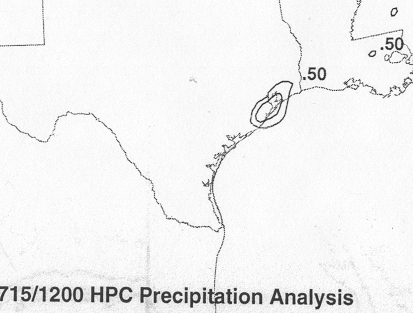
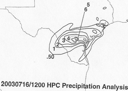
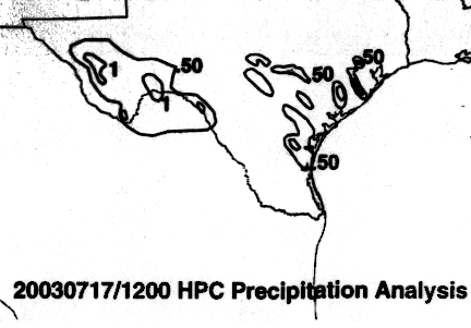
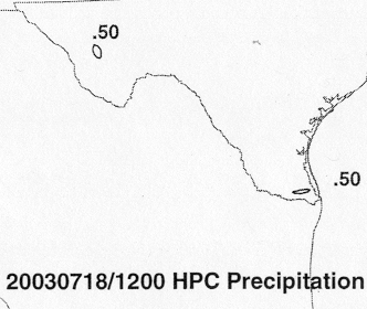
Below are the calendar for Daily Precipitation Maps. Note that
the 24-hour periods end
at 12z that morning.