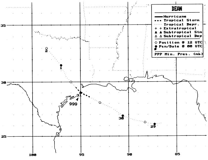
Tropical Storm Dean developed from a broad quasi-stationary
middle-level
trough extending from
the northeastern Gulf of Mexico through Florida. On the 27th of July,
a weak cyclonic circulation
developed in the eastern Gulf of Mexico. On the 28th, satellite
images clearly showed a low-level
cyclonic rotation, and Tropical Depression Four had formed near noon
on July 28.
The depression moved slowly toward the west to west-northwest around
a well-established mid-level
high pressure ridge located over the central United States. The
depression
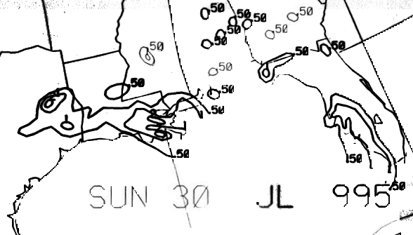
strengthened, becoming a
tropical storm shortly after noon on the 30th about 60 n mi from the
upper Texas coast. The center of
Dean crossed the coast near Freeport, Texas a few hours later.
Dean weakened to tropical depression status shortly after landfall
and
continued on a northwestward
track through Texas. The depression linked up with the dryline,
becoming
nearly stationary for about 24
to 36 hours over the northwest portion of the state producing heavy
rainfall as it interacted with a frontal
zone. The surface low dissipated late on the 2nd. Below is
its track, supplied by the National Hurricane
Center.
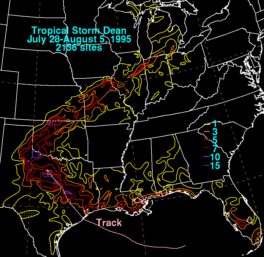
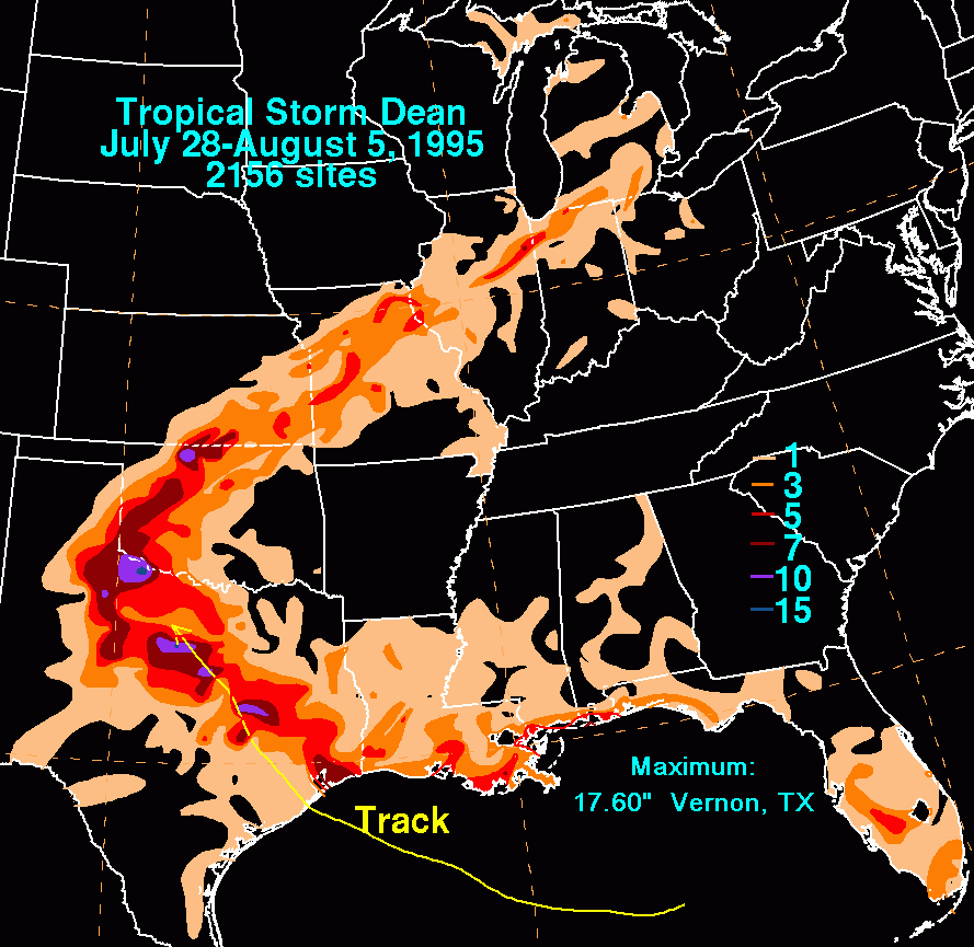
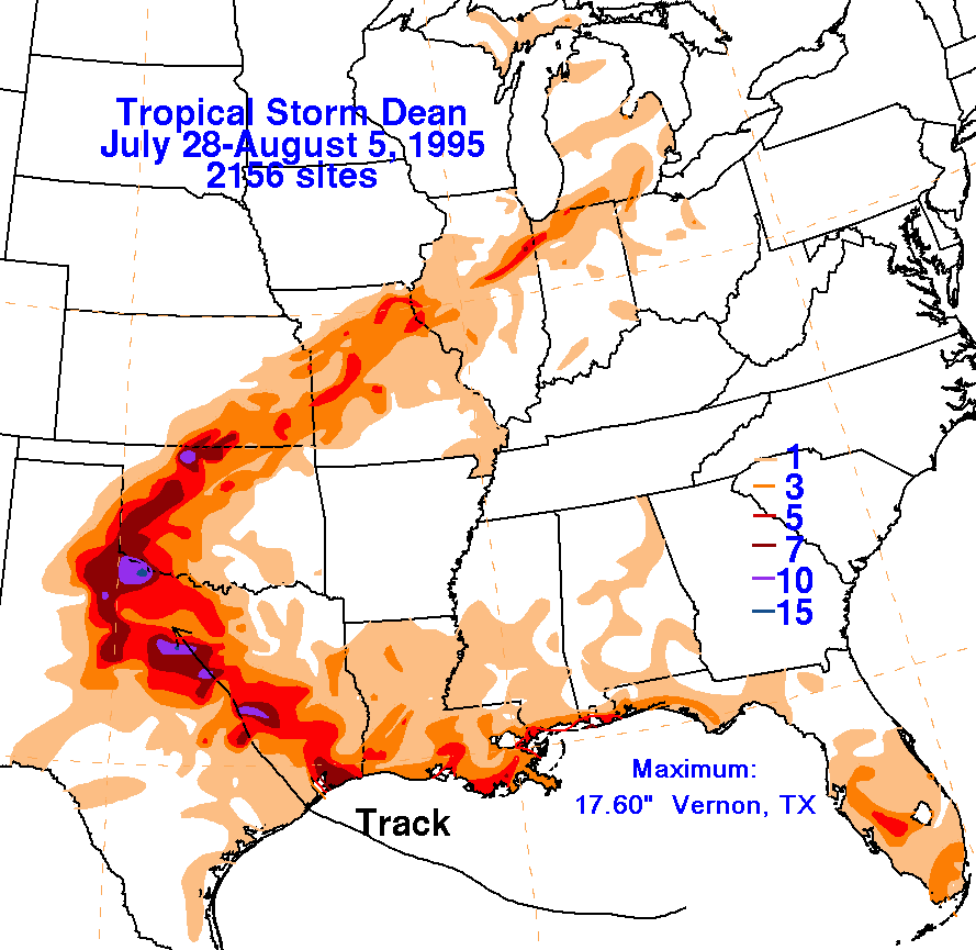
The storm total rainfall map below was constructed using data
from the National Climatic Data Center.
The rainfall that fell from Oklahoma northeastward fell along a frontal
boundary that existed to the north
of the dying tropical cyclone.
 |
 |
 |
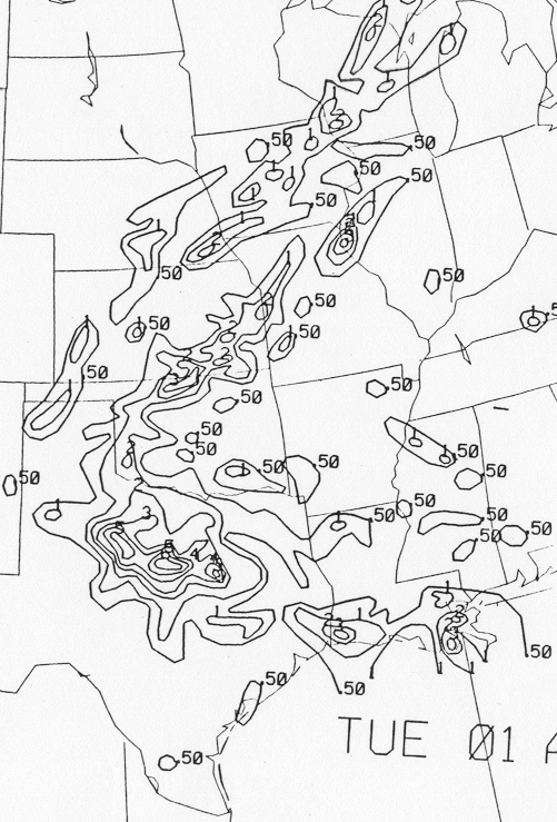
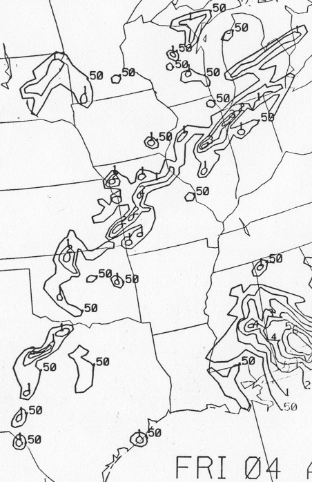
Below are the calendar for Daily Precipitation Maps.
Note that
the 24-hour periods end
at 12z that morning.