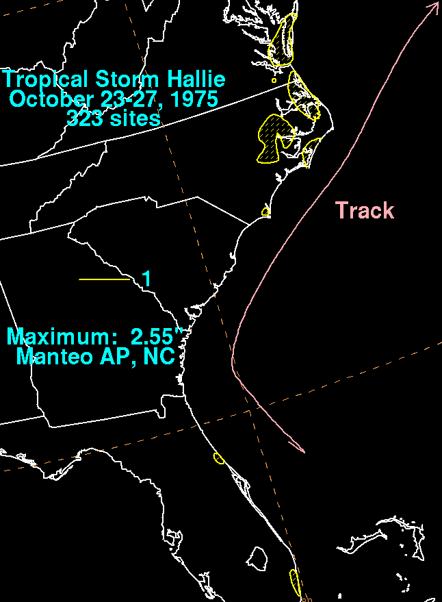
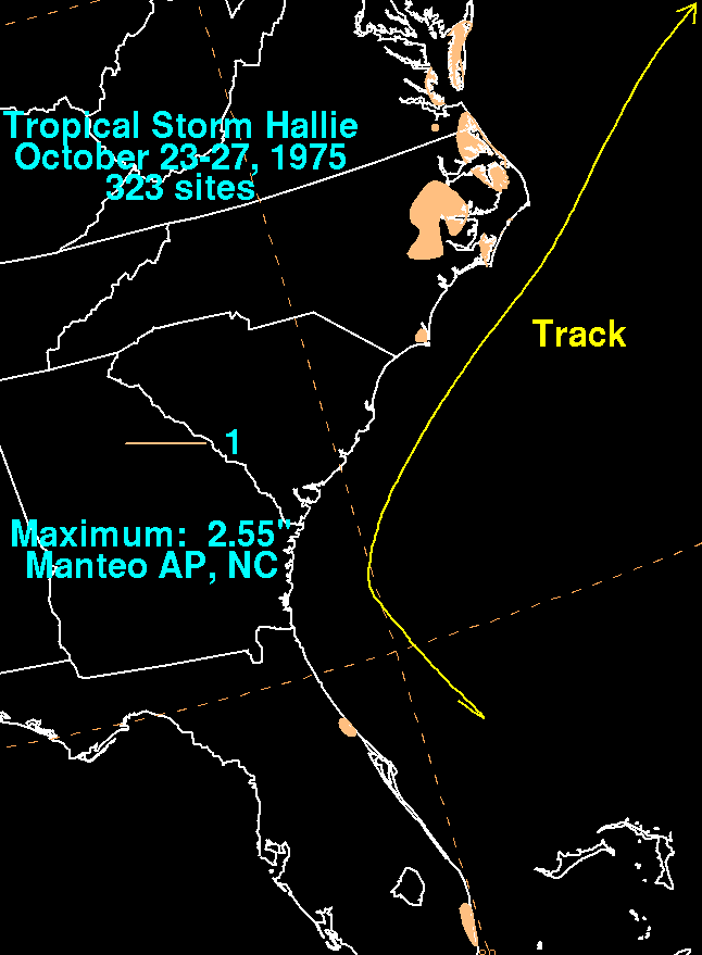
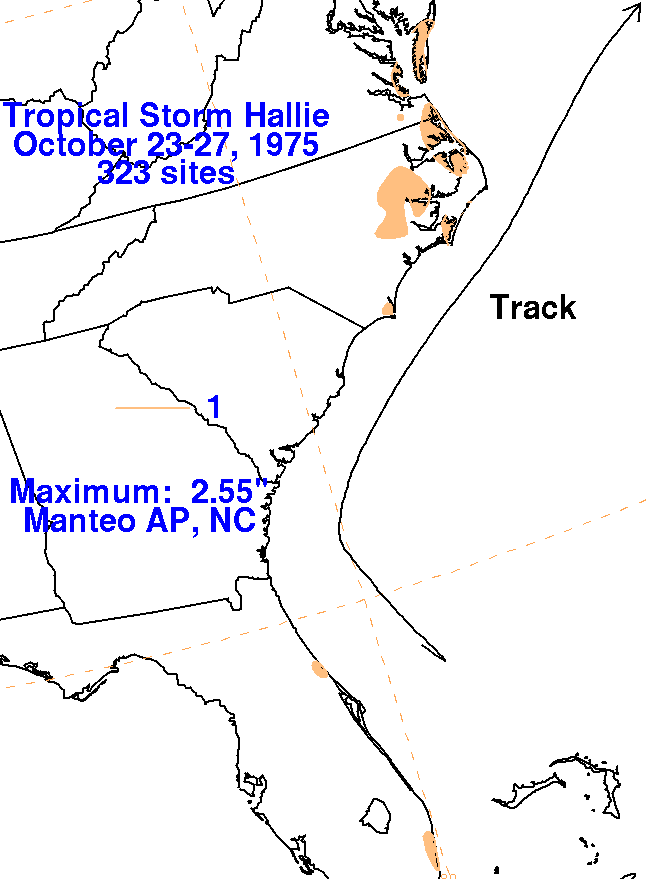
An upper trough and its associated cold front moved through the
Eastern United States into the western Atlantic
on October 18th. The southern portion of the front became
stationary over the Bahamas as an upper level low
formed in its vicinity. For several days, extensive cloudiness
and rain fell in the vicinity of the Bahamas. The
northern portion of a tropical wave moved into the area, which helped
form a subtropical depression by midday
on the 24th east of Daytona Beach. Early on the 25th, the
depression moved north around 100 miles offshore
the coast as it acquired tropical character. The system
strengthened into a tropical storm during the afternoon of
the 26th east of Charleston, South Carolina. At this point,
Hallie was moving northeast and began accelerating
out to sea. The cyclone became extratropical on the 27th well
east of Norfolk, Virginia. Data was
provided by
the National Climatic Data Center in Asheville, North Carolina.
 |
 |
 |