A perisistant tropical wave....the remains of Tropical Depression
#12...moved
through the Caribbean
during mid-September. Reconnaisance aircraft finally was able
to close off a surface circulation during
the morning of the 19th, while the system was just west of
Jamaica.
It moved around the western side
of the subtropical ridge. slowly intensifying into a tropical
storm by the morning of the 15th. Persistent
upper level winds kept the cyclone in a shearing environment, and it
never strengthened into a hurricane.
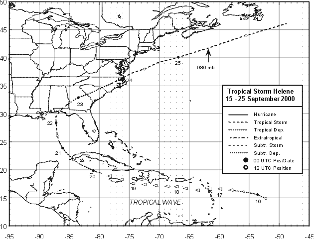
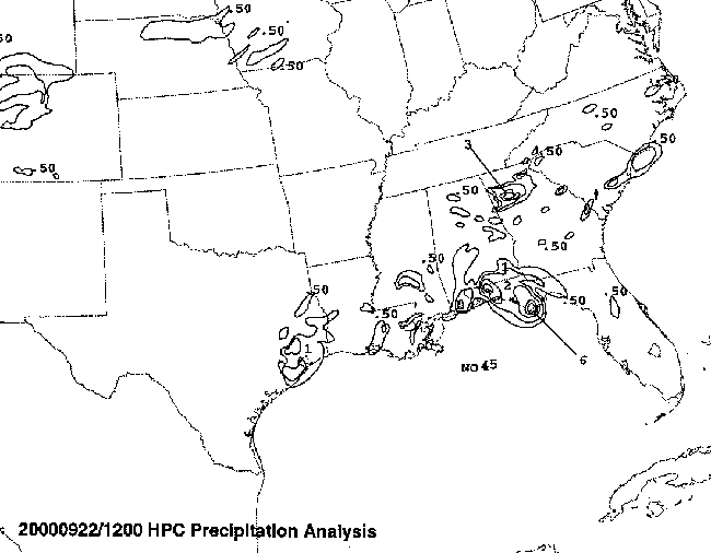
By the morning of the 22nd, the center made near Fort Walton Beach
in the Florida panhandle. The
cyclone quickly linked up with a front and became extratropical by
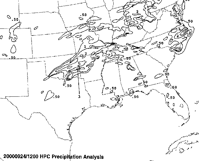
evening. As it exited the coast near
Cape Hatteras on the 23rd, it shed its frontal structure and became
a nasty subtropical storm off New
England. The track of the storm is located below, provided by the
National Hurricane Center.
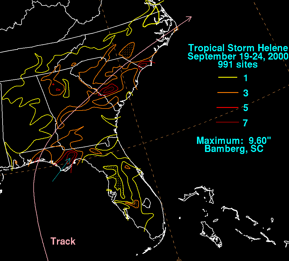
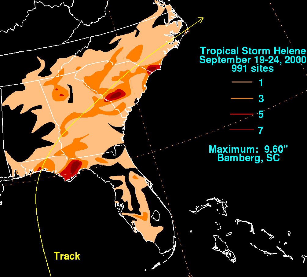
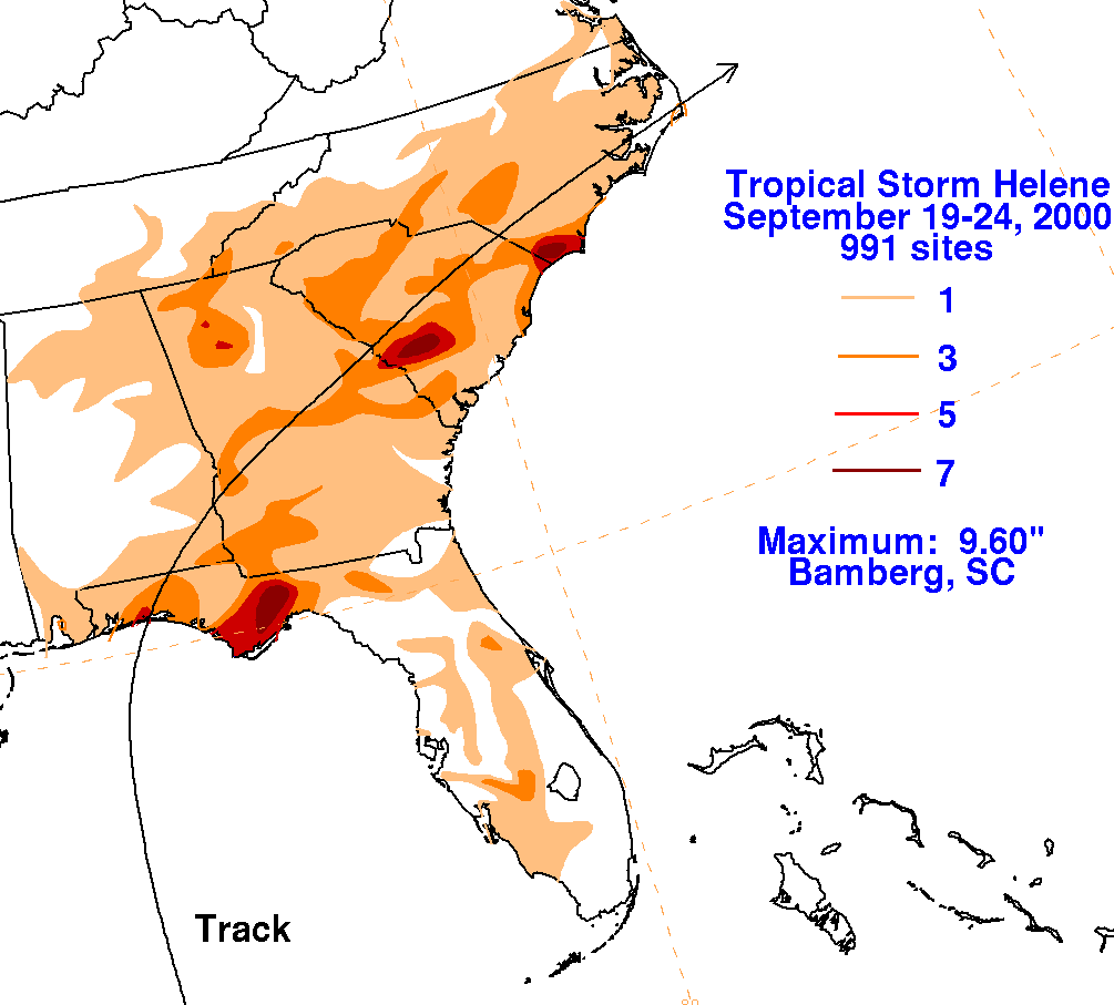
The graphics below the storm total rainfall for Helene.
Note
the maxima well east of the
center along the western Florida panhandle and in southern South
Carolina,
each coinciding
to where the center passed during the early morning hours.
|
|
|
|
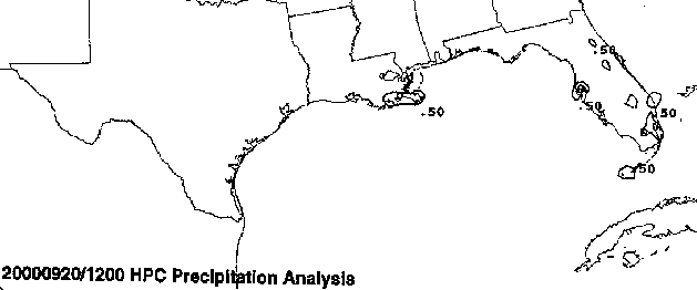
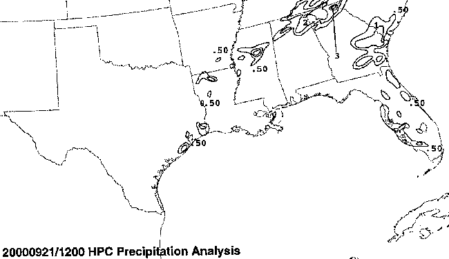
Below is the calendar for Daily Precipitation Maps. Note that
the 24-hour periods end
at 12z that morning.